Catalog Archive
Auction 120, Lot 329

"State of Ohio", General Land Office
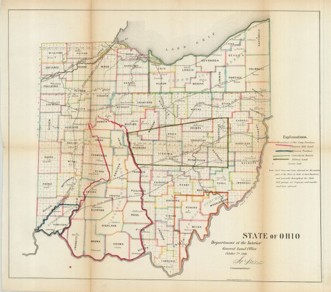
Subject: Ohio

Period: 1866 (dated)

Publication: Dept. of the Interior

Color: Hand Color

Size:
17.8 x 15.3 inches
45.2 x 38.9 cm
Download High Resolution Image
(or just click on image to launch the Zoom viewer)

Colorful survey map locates all counties, Virginia Military Land, Symmes's Purchase, the Connecticut Reserve and other Military lands. Good detail of existing railroads includes the Dayton & Michigan; Toledo & Wabash; Atlantic & Great Western; Columbus & Xenia; Cleveland & Erie; Cincinnati, Wilmington & Zanesy; and a few others. Signed in the plate Jos. S. Wilson, Commissioner for the General Land Office.

References:

Condition: B

Issued folding, now pressed flat. A small amount of loss at fold intersection and one fold split that is closed on verso with archival tape.

Estimate: $140 - $180

Unsold

Closed on 7/18/2007

Archived