Subject: New Mexico
Period: 1908 (dated)
Publication:
Color: Printed Color
Size:
29.5 x 21.7 inches
74.9 x 55.1 cm
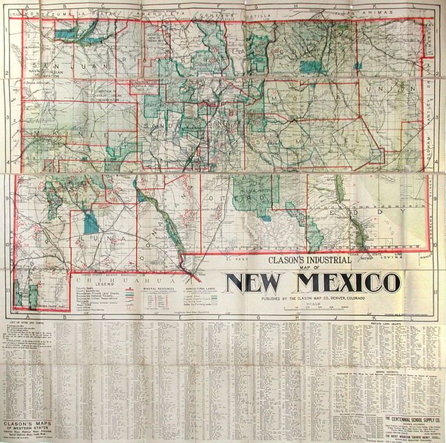
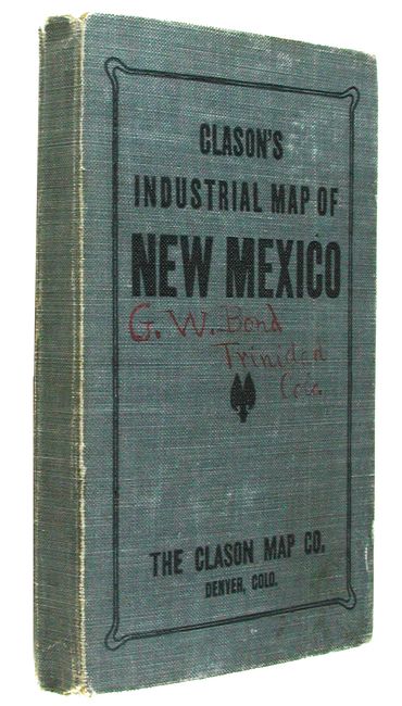
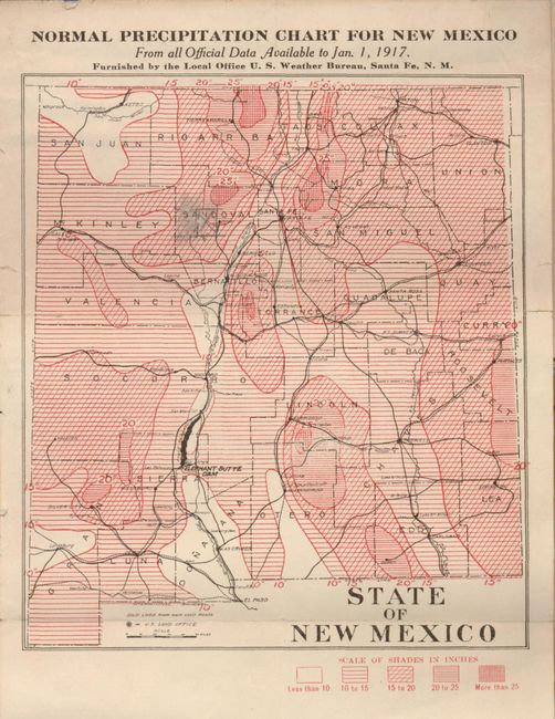
This scarce pocket map is linen backed and features beautiful coloring and original covers. The map is in five strips, mounted on linen and folding into hard covers. It shows the territory in high detail to include counties, land grants, National Forests, Indian Reservations, railroads, wagon roads, land offices, topography and watershed. The mineral resources are indicated by colored icon and include gold, silver, copper, lead, zinc, iron, and coal deposits. Also indicates via coloring agricultural lands, including irrigated, proposed irrigation projects, and dry farming lands. Extensive index below map locates towns with populations, private land grants, mining districts, and railroads. The printed cloth covers also have the same title. On the inside cover is original advertising label. Pasted at the label's side is a small folding "Normal Precipitation Chart for New Mexico," probably added by an owner. A scarce issue.
References:
Condition: B+
Two small holes at top in margin or border from folding. Cover is a little rubbed and carries a earlier owner's name in red ink.