Subject: Boston, Massachusetts
Period: 1920 (dated)
Publication:
Color: Printed Color
Size:
19 x 14 inches
48.3 x 35.6 cm
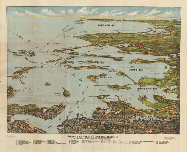
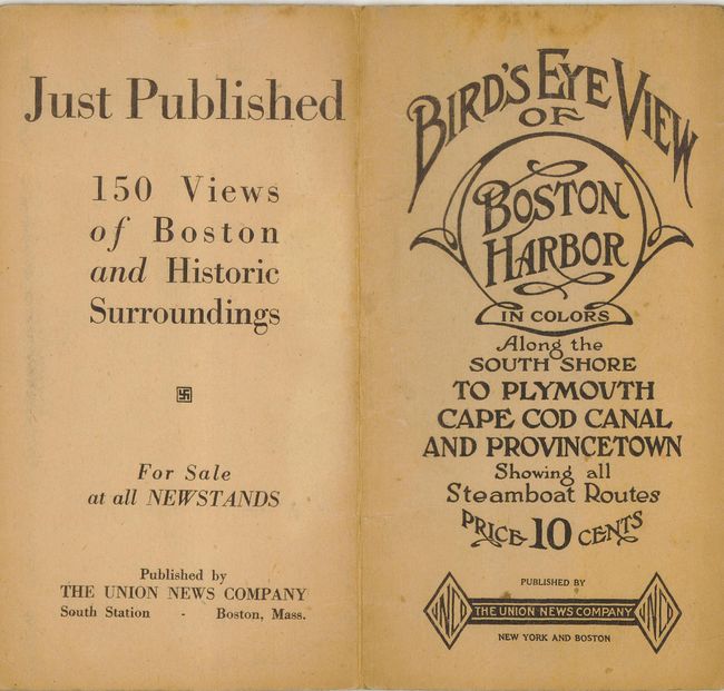
Nice bird's-eye map produced for the tourist trade. The attractively colored map folds into paper covers with the title "Bird's Eye View of Boston Harbor in Colors Along the South Shore to Plymouth Cape Cod Canal and Provincetown Showing all Steamboat Routes. Price 10 cents." The map extends from South Bay all the way to Cape Cod Bay and Provincetown. At the bottom is a numerical key naming and locating 25 landmarks and lighthouses. The map names East Boston, Dorchester Bay, Quincy Bay, Governor's Island, Peddock's Island, Deer Island, Nantasket Beach, Duxbury, Jerusalem, and much more. Numerous ferry and ship routes are shown. The map was printed by either the collotype or color gravure method by the Federal Engraving Co., Boston. A scarce issue that was published by The Union News Company.
References:
Condition: A
Map is near fine, covers with a little toning at edge and a couple foxing stains above title.