Subject: Colorado
Period: 1910 (dated)
Publication:
Color: Printed Color
Size:
38 x 39 inches
96.5 x 99.1 cm
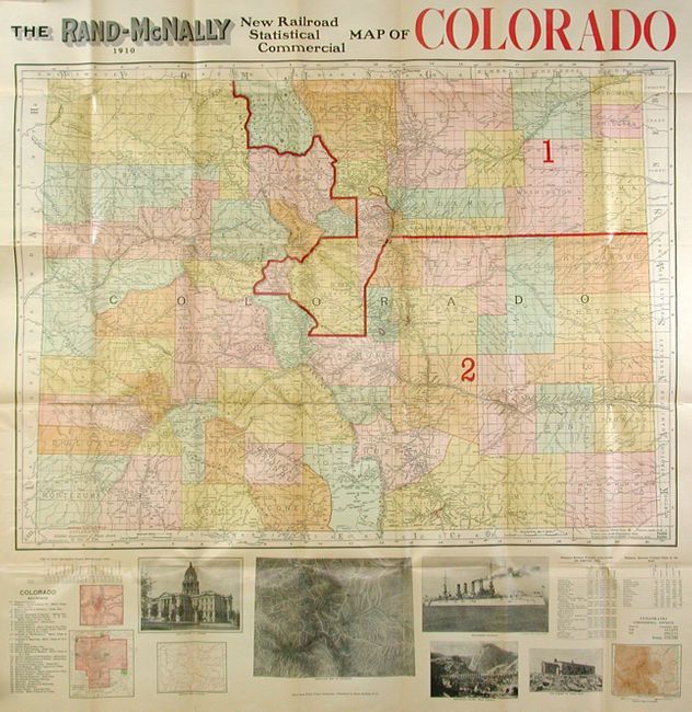
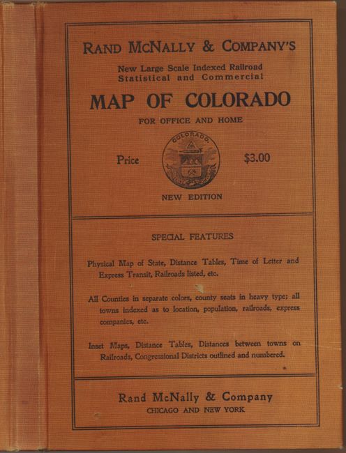
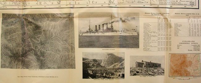
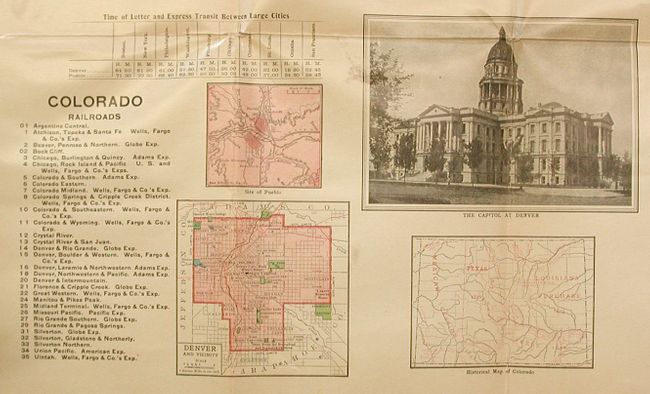
This large and brightly colored map includes illustrations and inset maps below. Red overprinting identifies the two Congressional Districts. Very detailed to include railroads, roads and trails, watersheds, forest lands, reserves, and much more. Below the map are numerous maps and photographs including a plan "Denver & Vicinity," and images of the Capitol at Denver. On verso is an extensive "Index to Colorado" which lists counties with their square miles and cities with population and location. The map folds into 6.7" x 10" printed cloth hard covers. The cover has the same title as the map, a price of $3.00, and the Colorado State Seal. A very handsome map of the state with original covers.
References:
Condition: B+
Printed on very thick paper so it is not surprising to see some fold splits, all closed on verso.