Subject: Arizona
Period: 1902 (dated)
Publication:
Color: Printed Color
Size:
16.8 x 20 inches
42.7 x 50.8 cm
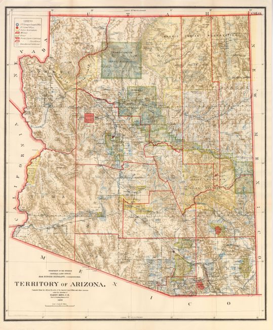
This colorful and fascinating map with a great amount of detail was issued ten years before the territory attained statehood. The Indian reservations and Military reservations, including Fort Apache, are clearly shown in different colors. Private claims, confirmed and unconfirmed, are outlined in red. The Grand Canyon Forest Reserve is shown. Details include watershed, mountains, numerous railroads, wagon roads, private claims, unsurveyed townships, etc. The baseline and numerous standard survey lines, both north and south, are located. Produced under the direction of Harry King, this great map employed a beautiful printing technique.
References:
Condition: A+
Folding, as issued. Bright colors and crisp impression. A mint example of this map.