Subject: Western United States - Utah
Period: 1852 (published)
Publication:
Color: Black & White
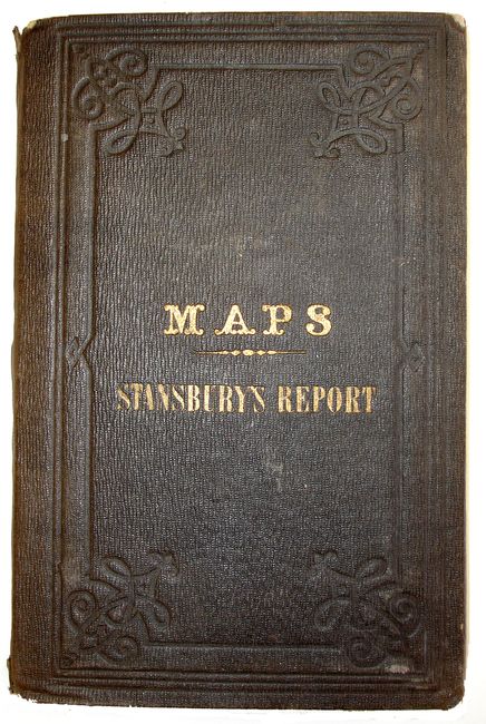
A pair of maps that fold into hard boards titled "Maps Stansbury 's Report".
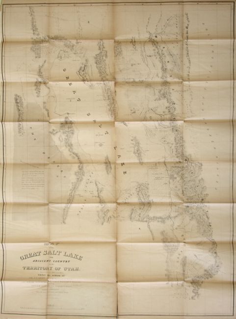
1) Map of the Great Salt Lake and Adjacent Country in the Territory of Utah (30 x 42.3"). This map details Stansbury's important exploration of the Great Salt Lake Basin that permanently established much topography and many of the place names of northwestern Utah. It extends from the 42nd parallel and includes the Wasatch Mountains, Cache Valley and Ogden's Hole, and south to include Lake Utah and the Youab Valley. Indian, as well as Mormon, names are given for the creeks. A wonderful notation in The Desert west of the lake provides important information for travelers, "This desert consists of clay and sand impregnated with salt. When wet, it has the consistency of mortar. Lightly loaded wagons can pass between Spring Valley and Pilot Peak in the driest part of the season. Forage and water must be carried for cattle, and the journey begun in the P. M. and continued through the night. Distance between springs 70 ms." Lithographed by Ackerman. Scattered foxing. Several fold intersection splits, some fold splits, toned along folds.
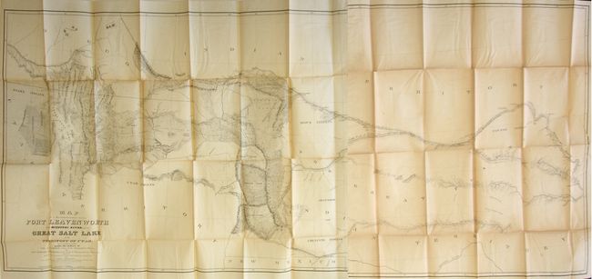
2) Map of a Reconnaissance between Fort Leavenworth on the Missouri River, and the Great Salt Lake in the Territory of Utah (65.5 x 28"). Made under the orders of Col. J.J. Albert, chief of the Topographical Bureau, by Capt. Howard Stansbury of the Corps of Topographical Engineers, aided by Lieut. J.W. Gunnison and Albert Carrington. Drawn by Lieut. Gunnison and Charles Preuss. Thus bringing together some of the most important names in Western cartography. This immense map covers the Great Plains, Colorado, Wyoming and Utah in considerable detail on a scale of 1" to about 16 miles. The detail is particularly evident in present-day Colorado, the Laramie Mountains (here labeled Black Hills), and in the vicinity of Salt Lake. Wheat devotes more than eight pages of text to this map, calling it "one of the most important [maps] of its decade, bringing permanently into Western cartography a number of outstanding details." Lithographed by Ackerman. Two mismatched sheets joined together. Scattered foxing and variable toning. With several fold intersection splits.
References: Wagner-Camp #219:1; Wheat [TMW] #765 & #764
Condition: B
See descriptions.