Subject: New England
Period: 1850 (dated)
Publication:
Color: Hand Color
Size:
19.5 x 24 inches
49.5 x 61 cm
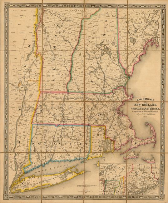
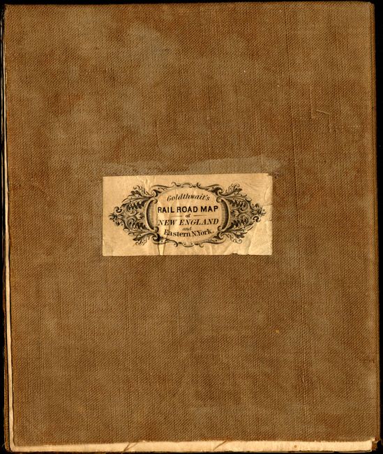
A very nice, engraved map extends from Long Island northward to southern Maine, and westward to Lake Champlain. The emphasis of the map is on the fast growing railroads of the region, with all stations named. A legend at bottom identifies "Railroads completed, located and in progress". Also delineates the state boundaries in color and locates all towns and villages plus names all counties. In the lower right is a large inset of the northern sections of Vermont, New Hampshire and Maine. An ornamental rectilinear border surrounds. This example is dissected and laid on linen. The sixteen segments self fold with the original paper label on the outside panel. A rarely offered map.
References:
Condition: B+
Original margins and good original color. A couple spots and a hint of toning on folds.