Subject: Geography Books
Period: 1797 (dated)
Publication:
Color: Black & White
Size:
5.5 x 8.5 inches
14 x 21.6 cm
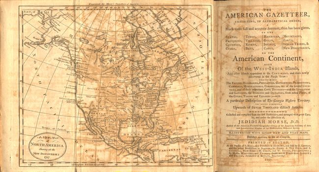
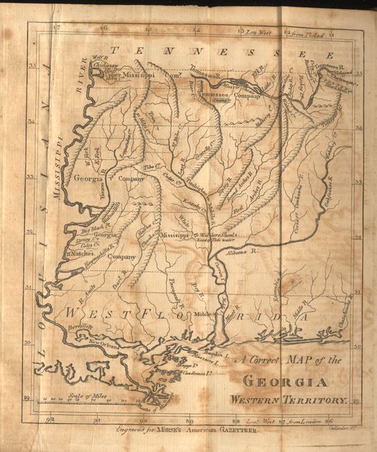
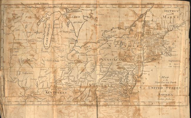
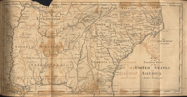
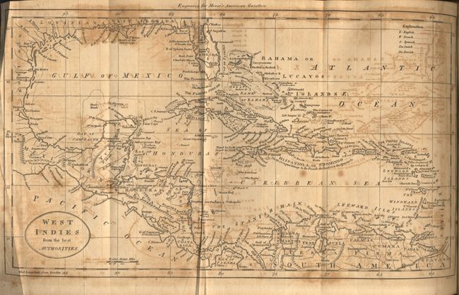
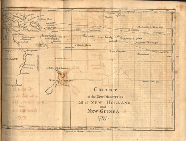
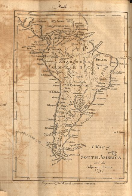
This is a first edition of this early American geography book that is considered to be the country's first gazetteer. It contains seven folding maps, including the Georgia Western Territory map which is not present in all copies. An example of the young country's anxious desire to expand westward can be seen on the Map of the Northern Part of the United States which shows several numbered designations for future states in the upper Midwest. This particular map also shows northern Ohio as "New Connecticut". The populations of the states, cities and towns are reported according to the fledgling nation's first official census in 1790. 8vo. Complete. Published in Boston by S. Hall and Thomas & Andrew. Original hardbound in polished darkened calf with decorative gilt on the spine.
References:
Condition: B
Text and maps good with usual toning, foxing and some offsetting. Several fold separations on some of the maps have been closed with tape. A private library stamp is pasted inside the front cover with a previous owner's name in ink on front endpaper.