Subject: Geography Books
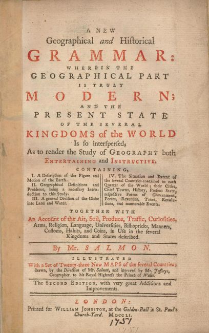
Period: 1751 (published)
Publication:
Color: Black & White
Size:
5.3 x 8.3 inches
13.5 x 21.1 cm
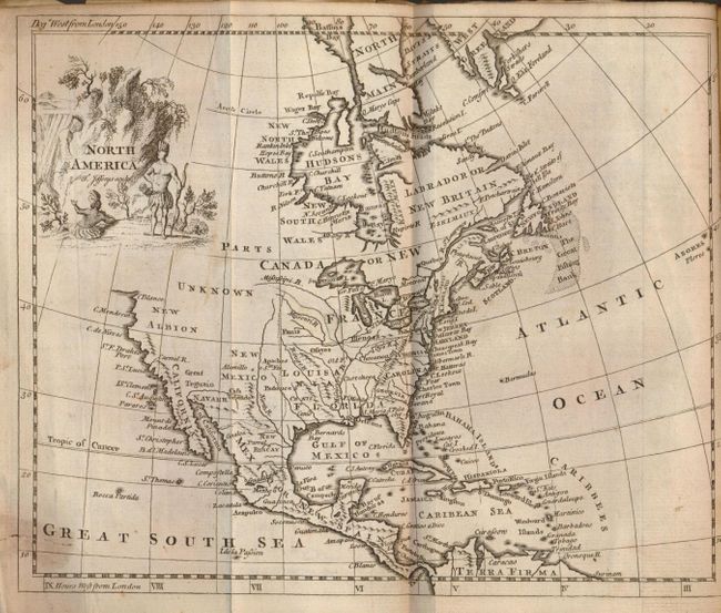
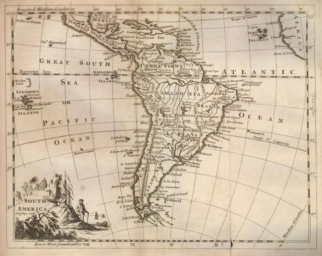
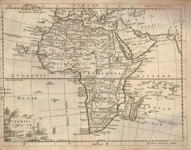
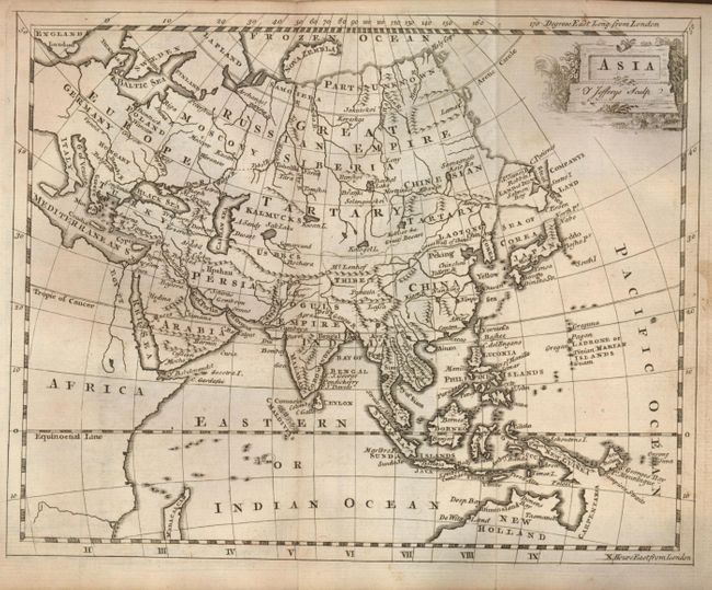
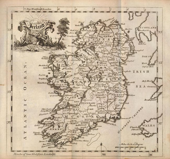
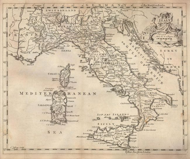
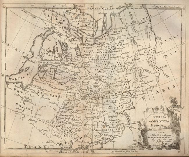
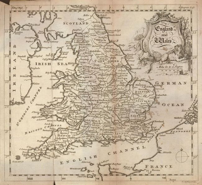
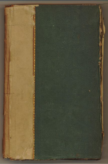
This is the very hard to find second edition with 20 (of 23) foldout maps engraved by Thomas Jeffreys, Geographer to His Royal Highness, the Prince of Wales. It is offered as a group of maps to be sold as is, and not subject to return as much of the text is missing, as are 3 of the maps. The North America map identifies "The Great Fishing Bank" east of Newfoundland and shows the Pacific Northwest as "Parts Unknown". Each of the maps have decorative title cartouches and measure approximately 8" x 6.5". 12mo, hardbound in embossed green cloth.
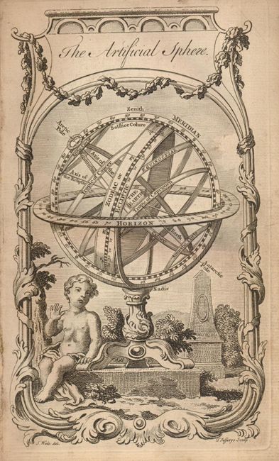
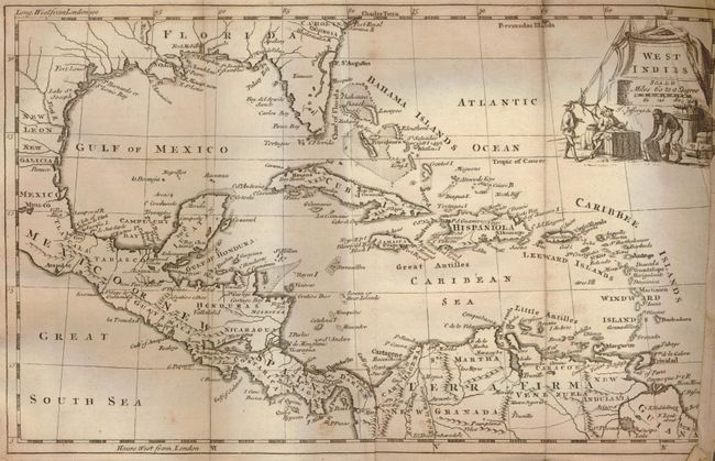
The maps included are: The Artificial Sphere, Poland Lithuania and Prussia, Turkey in Asia, Germany, England and Wales, North America, Ireland, Europe, Spain and Portugal, France, Italy, Russia or Muscovyin Europe, The Seven United Provinces…, Hungary &c with Turky [sic] in Europe, Sweden Denmark Norway and Finland, Scotland, Asia, China, Africa, West Indies,
References:
Condition: B
Maps are good with moderate scattered, light foxing and soiling. Several have small fold separations, some with old repairs. Notations in ink on the verso of a couple of maps.