Subject: Atlases
Period: 1850 (circa)
Publication:
Color: Black & White
Size:
17 x 11 inches
43.2 x 27.9 cm
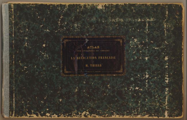
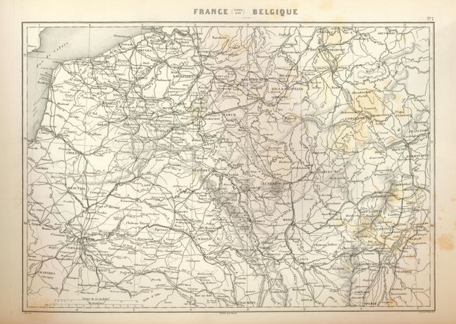
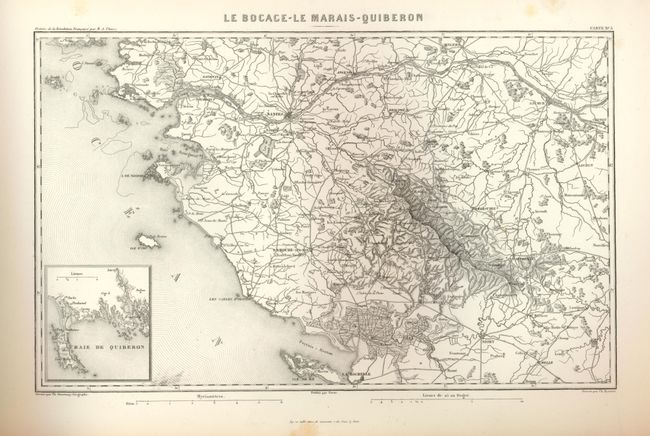
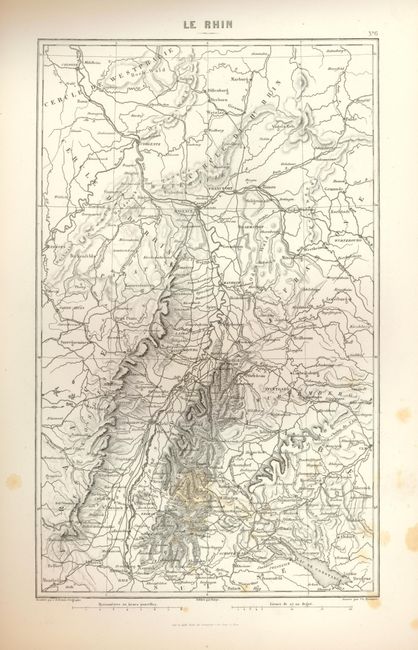
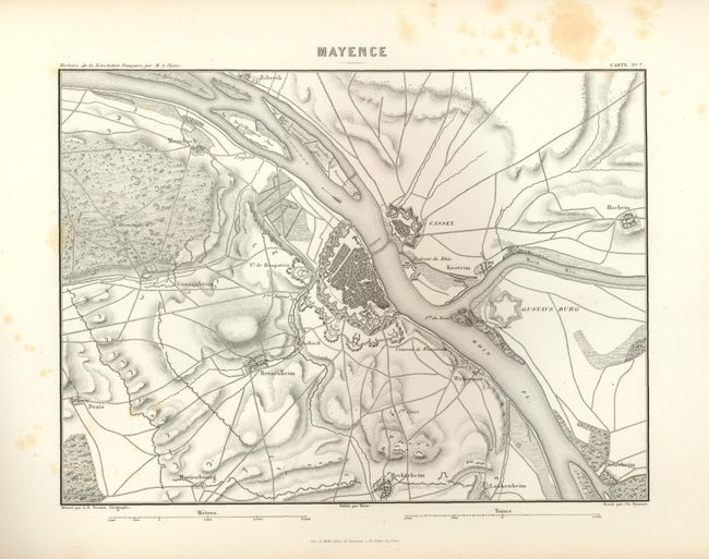
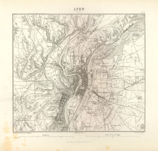
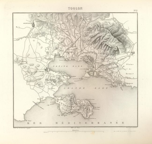
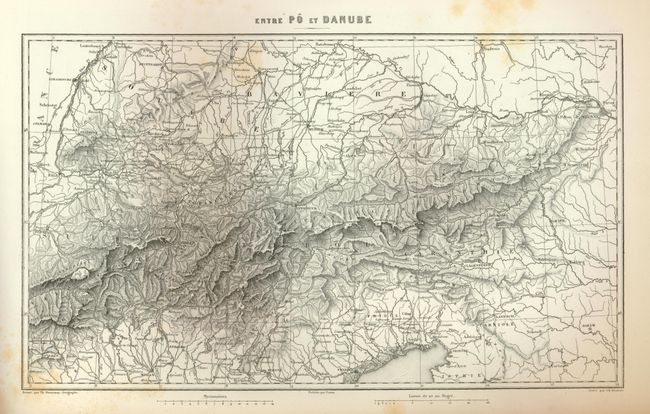
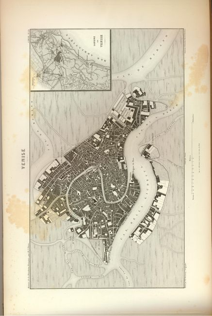
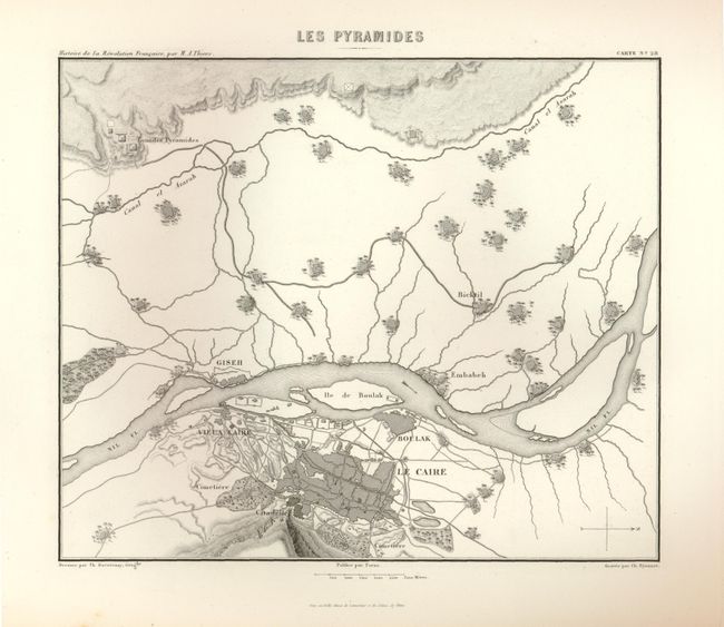
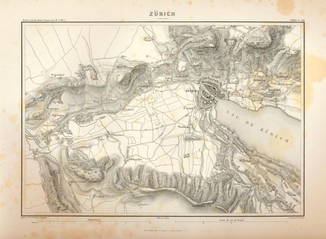
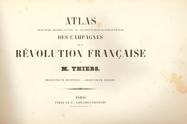
A very interesting and highly detailed atlas based on Adolphe Thiers' history of the French revolution. With 32 maps and plans designed by Duvotenay and engraved by Dyonnet, each filled with information including topography, roads, forts and battle lines. Some of the battle plans include Valmy, Jemmapes, Hondschoote, Wattignies, Nerwinde, Fleurus, Montenotte and Millesimo, Castiglione, d'Arcole, Rivoli, Pyramides, Aboukir, Mont Thabor. City plans include Zurich, Venice, Strasbourg, Toulon, Lyon and more. This is an uncommon edition. Folio. Complete. Original hardbound in green marbled boards with pastedown title on front.
References:
Condition: B
The maps are beautifully engraved with strong images. The maps vary between fine to good with occasional foxing. The covers are shelf worn, scuffed, bumped, and beginning to separate from contents. Original spine is missing and replaced with tape. Front end paper is loose.