Subject: Atlases
Period: 1831 (dated)
Publication:
Color: Hand Color
Size:
10.5 x 15 inches
26.7 x 38.1 cm
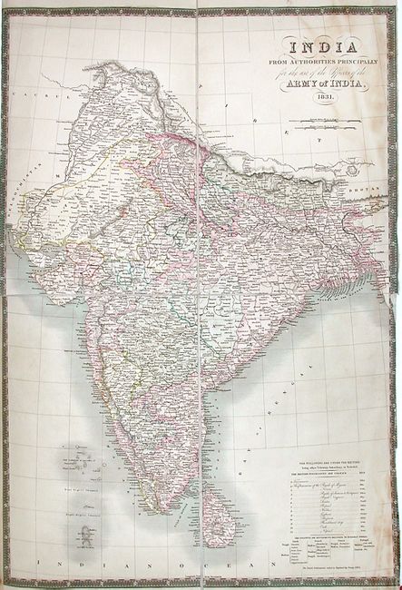
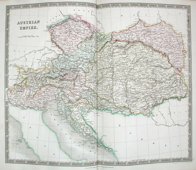
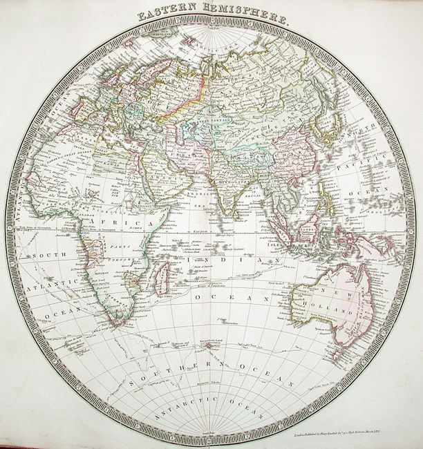
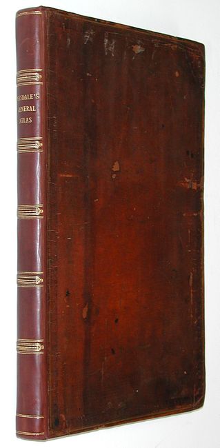
Sometimes referred to as the "Teesdale Atlas", this excellent and very hard to find example contains 46 finely engraved, full colored and very detailed maps done by John Dower. The maps, with their graceful and elegant coloring, successfully depict the political boundaries of the world at the time. Each map is very finely engraved and has lovely original hand coloring and decorative banknote-style borders. Of particular interest is the fold out map of India which is dissected and has been backed with linen. The map of the Americas features a Fifty-Four Forty or Fight border with the U.S. extending well north into British America. In Europe, the Austro-Hungarian Empire and the Turkish Empire meet in the Balkans, and Germany and Italy, decades away from unification, are shown with their individual states. The map of the West Indies includes a notation of the location where Admiral Benbow engaged in battle with the Frenchman DuCasse near the coast of Columbia. Two of Benbow's Captains deserted the battle allowing the French to gain access to the Spanish holdings, and were later convicted of cowardice and executed. Benbow himself suffered a wound to his leg which had to be amputated. He soon developed an infection, and quickly succumbed. At the back of the atlas are maps of the ancient world including the Empires of Greece, Rome and Persia, and a map of Ancient Palestine that includes an inset of Jerusalem. This wonderful atlas has been expertly rebound and restored by Blair Jeary of Burghley House in Stamford, and contains a beautifully engraved double page title and a list of maps. Folio. Complete. Hardbound in original boards and restored spine. Gilt title on spine with raised bands in gilt as well. Previous owners name and family crest on paper pastedown inside front cover. Covers expertly restored by Blair Jeary, Stamford.
References:
Condition: B
Maps with minor occasional foxing throughout, and some light marginal soiling. Several maps have archival tape repairs probably from the restoration. Spine, binding and signatures all very tight and solid. Certainly an excellent example of this atlas with expert (early) restoration.