Catalog Archive
Auction 119, Lot 800

"Insulae Indiae Orientalis", Mercator/Jansson

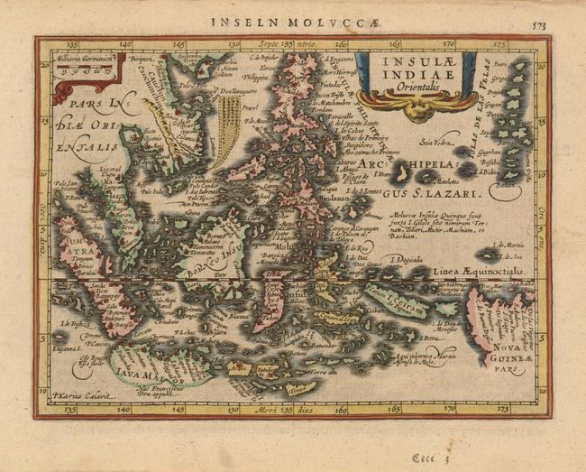
Subject: East Indies - Indonesia

Period: 1631 (published)

Publication: Atlas Minor

Color: Hand Color

Size:
7.6 x 5.6 inches
19.3 x 14.2 cm
Download High Resolution Image
(or just click on image to launch the Zoom viewer)

Charming map of the East Indies covering the coast of Indochina and Malaysia with the Philippines and Indonesia. The map shows the famous Spice Islands and the important trade capitals of the region. The west coast of New Guinea is exaggerated and the southern coastline of Java (Iava Maior) is shown only by a dotted line. Engraved by Petrus Kaerius for Jansson's editions of the Atlas Minor. German text on verso

References:

Condition: A

Estimate: $275 - $350

Sold for: $180

Closed on 5/9/2007

Archived