Catalog Archive
Auction 119, Lot 746

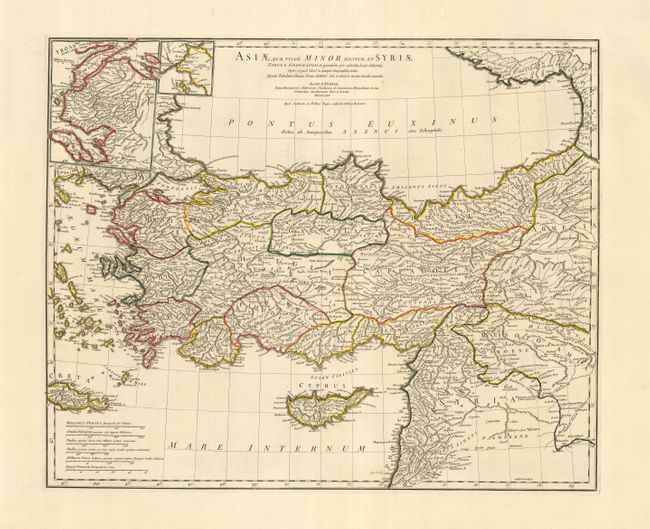
"Asiae, quae vulgo Minor Dicitur, et Syriae, Tabula Geographica…", Anville, Jean Baptiste Bourguignon d'

Subject: Near and Middle East

Period: 1764 (dated)

Publication:

Color: Hand Color

Size:
24.5 x 19.8 inches
62.2 x 50.3 cm
Download High Resolution Image
(or just click on image to launch the Zoom viewer)

Stunning, large-scale map of ancient Turkey showing the Black Sea, Mediterranean Sea, Aegean Sea and islands, Crete, Cyprus, part of Armenia, and Syria with many ancient place names throughout the map. Inset at the top with a map of Troy and a smaller one of the Bosphorus. D'Anville was the Royal French cartographer and was elected to the Academie des Sciences in 1773. His maps are noted for their scientific accuracy and were copied by many subsequent cartographers.

References:

Condition: A+

Sharp impression on strong paper with huge margins. Remnant of atlas index tab in right margin.

Estimate: $200 - $275

Sold for: $275

Closed on 5/9/2007

Archived