Catalog Archive
Auction 119, Lot 597

"Carte Generale de l'Allemagne Comprenant l'ensemble des Etats de l'Europe Central", Andriveau-Goujon, E.

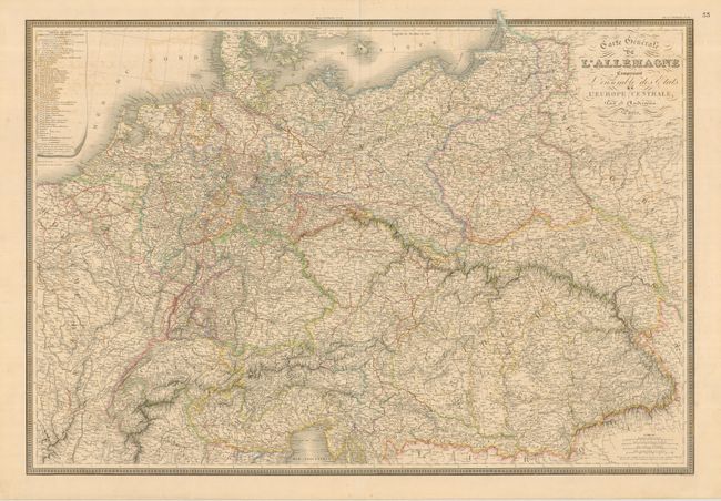
Subject: Central Europe

Period: 1847 (dated)

Publication:

Color: Hand Color

Size:
35.8 x 24.5 inches
90.9 x 62.2 cm
Download High Resolution Image
(or just click on image to launch the Zoom viewer)

Handsome and detailed map of central Europe shows Germany, Austria, Switzerland, Poland, Holland, Denmark and Belgium with portions of France and Italy. The map is enclosed in a key-board style border with a table of the German states on the top left.

References:

Condition: B+

Lovely original outline color with a little light toning on centerfold and some very light offsetting.

Estimate: $200 - $275

Unsold

Closed on 5/9/2007

Archived