Catalog Archive
Auction 119, Lot 575
"Accuratissima Galliae Tabula Gallis Vulgo dicta le Royaume de France…", Ottens/De Wit
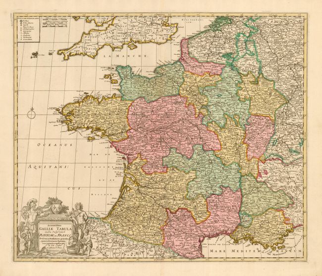
Subject: France
Period: 1740 (circa)
Publication:
Color: Hand Color
Size:
22.5 x 19 inches
57.2 x 48.3 cm
Download High Resolution Image
(or just click on image to launch the Zoom viewer)
(or just click on image to launch the Zoom viewer)