Catalog Archive
Auction 119, Lot 515

"Pars Flandriae Teutonicae Occidentalior", Blaeu, (Family)

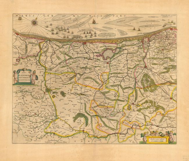
Subject: Low Countries

Period: 1639 (circa)

Publication:

Color: Hand Color

Size:
19.5 x 15.4 inches
49.5 x 39.1 cm
Download High Resolution Image
(or just click on image to launch the Zoom viewer)

Fine map of Flanders covering the coast from Calais to Oostende. The interior is well engraved with forests, roads and towns, and extends to the Lys River. Armed cherubs surround the title cartouche while the scale cartouche is adorned with harvest-themed putti. A compass rose and a huge fleet of ships off the coast of Dunkerque fill the top of the map. French text on verso.

References:

Condition: B

Even toning with a couple of short tears near bottom.

Estimate: $275 - $350

Unsold

Closed on 5/9/2007

Archived