Catalog Archive
Auction 119, Lot 50

"Septentrionalium Terrarum Descriptio; Juxta mentem Veterum Geographorum", Mercator/Cloppenburgh
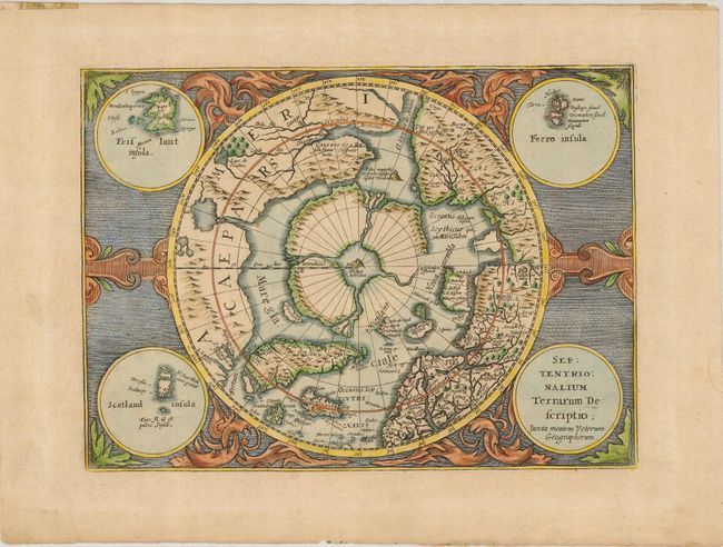
Subject: North Pole

Period: 1676 (circa)

Publication: Atlas sive Cosmographicae

Color: Hand Color

Size:
9.8 x 7.2 inches
24.9 x 18.3 cm
Download High Resolution Image
(or just click on image to launch the Zoom viewer)

Second state of this reduced version of Mercator's famous map of the North Pole. The hemisphere is surrounded by a finely engraved design with four round insets in each corner. These contain the title, the Faeroe Isles, the Shetland Isles, and the mythical island of Frisland. The North Pole is shown according to legend as a large rock in a giant whirlpool surrounded by four islands that are separated by rivers. The magnetic pole is depicted as an island in the Strait of Anian. An elaborate river network and large bay is shown in the extreme northwest part of North America.

References: Burden #225.

Condition: A

Very good with some tape residue in the top margin, well away from the map.

Estimate: $750 - $850

Sold for: $650

Closed on 5/9/2007

Archived