Catalog Archive
Auction 119, Lot 499
"Hydrographia Canalis Marini Inter Angliam et Galiiam de Fluentis", Scherer, Heinrich
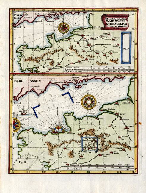
Subject: English Channel
Period: 1710 (published)
Publication: Atlas Novus
Color: Hand Color
Size:
7.3 x 9.2 inches
18.5 x 23.4 cm
Download High Resolution Image
(or just click on image to launch the Zoom viewer)
(or just click on image to launch the Zoom viewer)