Catalog Archive
Auction 119, Lot 480
"L'Angleterre divisee en 5 grandes Parties subdivisees en 52 Comtes; et partagee en 2 Provinces Ecclesiastiques…", Brion de la Tour/Desnos
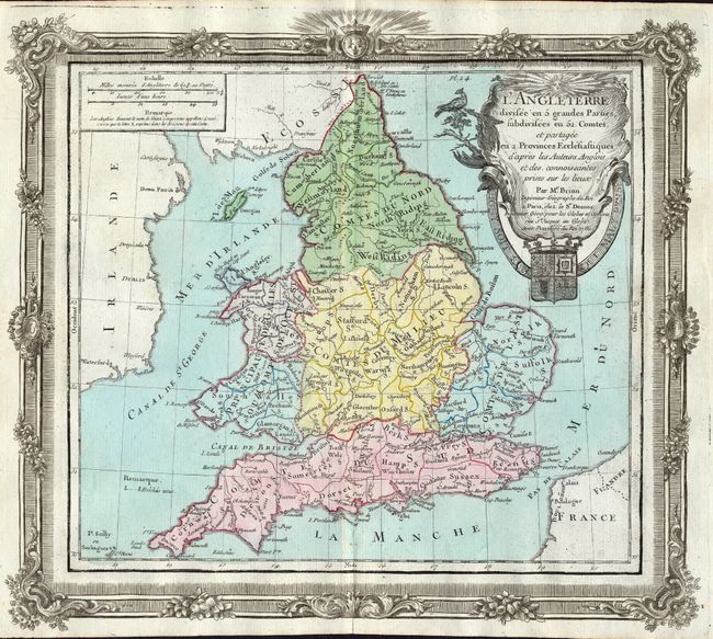
Subject: England & Wales
Period: 1786 (dated)
Publication: Atlas General, civil, ecclesiastique et militaire
Color: Hand Color
Size:
12.3 x 10.8 inches
31.2 x 27.4 cm
Download High Resolution Image
(or just click on image to launch the Zoom viewer)
(or just click on image to launch the Zoom viewer)