Subject: South America
Period: 1719 (dated)
Publication:
Color: Hand Color
Size:
22.3 x 18 inches
56.6 x 45.7 cm
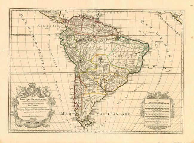
This is a handsome and large map of the continent decorated with elaborate title and scale of miles cartouches balancing the lower portion of the map. The continent is divided into the French, Spanish, Portuguese and Dutch possessions. The fourteen coastal Capitaineries created by the Portuguese are delineated in Brazil. The course of the Amazon is delineated in a fairly accurate manner, yet it shows the river's source in a fascinating, interlacing maze of waterways. The Rio Paraguay erroneously begins at a lake named Xarayes in the middle of Brazil.
References:
Condition: B
This map has a nice impression and original outline color. The map has a small stain in the center of the map and a repaired tear just to the left of the centerfold.