Subject: New York City
Period: 1854 (dated)
Publication:
Color: Hand Color
Size:
20.8 x 16.5 inches
52.8 x 41.9 cm
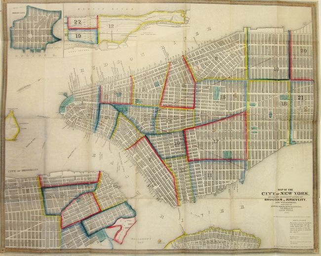
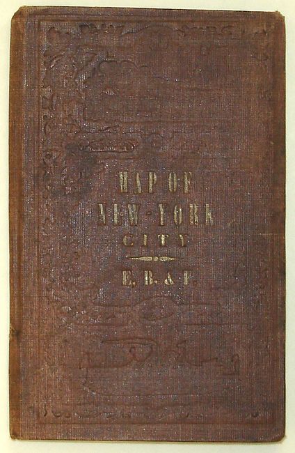
This increasingly uncommon pocket map of New York City is a highly detailed, and richly colored representation of one of the world's best known cities. This example extends to 32nd St., and includes insets of Jersey City and Haerlem. The traveler's guide is complete with a 28-page street index and pier guide. Among the points of interest on this map are Fort Columbus, the Battery, City Hall and Madison Square. Red lines denote the boundaries of the Fire Districts and numbers on the map indicate the number of "strokes of the fire bells for the district in which the fire may be." The map folds into the original brown cloth boards, and has a faint gilt-stamped title on the front cover.
References:
Condition: A
Clean and bright with the usual tiny fold intersection splits. Covers are slightly worn and the spine has a small tear.