Subject: Missouri, St. Louis
Period: 1890 (dated)
Publication:
Color: Printed Color
Size:
32 x 22 inches
81.3 x 55.9 cm
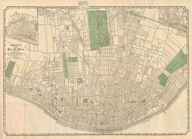
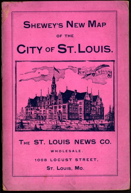
An uncommon cerographic plan of the city with north oriented to the right, and featuring two insets; one of Carodelet, and the other showing a broader view of the area. While the main purpose of this map is to present an easy-to-read street layout for the visitor, this example also includes numerous landmarks and other important features of the city such as steamboat landings, train depots, parks, the fairgrounds and the insane asylum. The guide is complete with an eight page street index, and has a view of the New City Hall on the front cover and advertising on the back cover. Produced by The St. Louis News Co. Folds into pink self wrappers.
References:
Condition: B
Clean and bright with the usual minor fold separations and a binding tear. There are a couple of small red ink markings from a previous user. Soft covers are only slightly worn, and soiled.