Catalog Archive
Auction 119, Lot 255

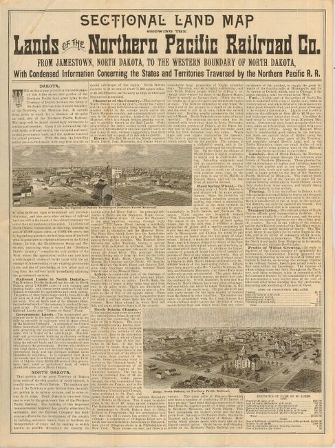
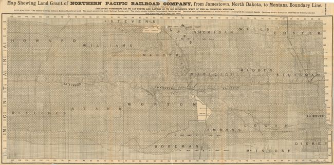
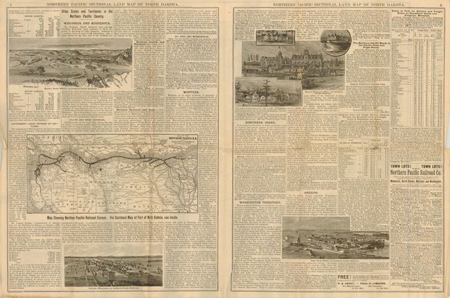
"Sectional Land Map Showing the Lands of the Northern Pacific Railroad from Jamestown, North Dakota, to the Western Boundary of North Dakota", Rand McNally & Co.

Subject: North Dakota

Period: 1885 (dated)

Publication:

Color: Black & White

Size:
46.5 x 21 inches
118.1 x 53.3 cm
Download High Resolution Image
(or just click on image to launch the Zoom viewer)

This huge map is scaled at six miles to the inch, which translates to 264 miles of land in the Northern Pacific grant in western North Dakota. This massive land grant was centered near Bismarck, and had the sections of land alternating between railroad and government, sold and unsold, and with some sections reserved for school purposes. On verso is a vast amount of information on Dakota, and many engravings of the area's growing cities and prosperous farms. An advertisement offers land for $1.25 to $6.00 an acre!

References:

Condition: B

This is printed on newsprint, and as such, is delicate. There are several intersectional fold separations, and the paper has scattered foxing along the folds.

Estimate: $300 - $400

Unsold

Closed on 5/9/2007

Archived