Subject: Canada & Arctic
Period: 1825-7 (published)
Publication: Atlas Universel de Geographie Physique, Politique, Statistique et Mineralogique
Color: Hand Color
Size:
22 x 18.5 inches
55.9 x 47 cm
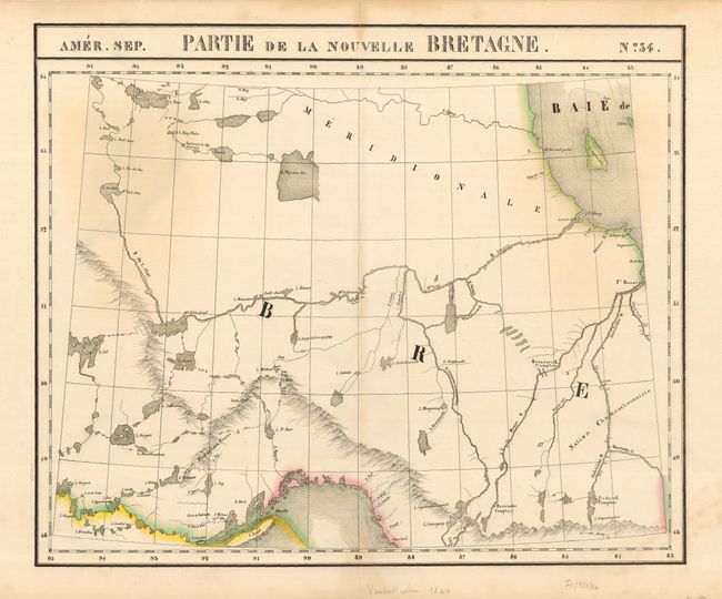
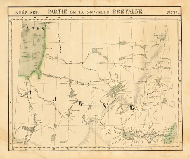
This interesting lot of maps describes the region of Hudson Bay, Hudson Strait, and a portion of the surrounding areas of Quebec and Ontario. The Atlas Universel was the first atlas to present all the maps on the same scale (1: 1,641,836), with each map covering an area of approximately 20 degrees longitude (from Paris) and 6 degrees of latitude. It is also considered to be the first lithographic atlas ever published. The maps were meant to be joined together to form a huge globe measuring 7.775 meters in diameter. There was only one edition of the atlas, published in 1825-27, and the subscription list shows that only 810 copies were sold. Size is approximate for each map. The maps are as follows:
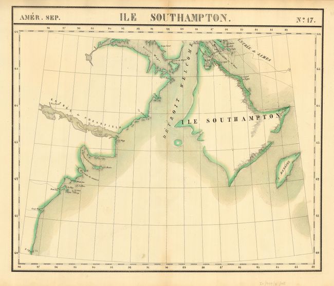
1) Amer. Sept. Ile Southampton. No. 17. This shows Southampton Island and the northwest portion of Hudson Bay.
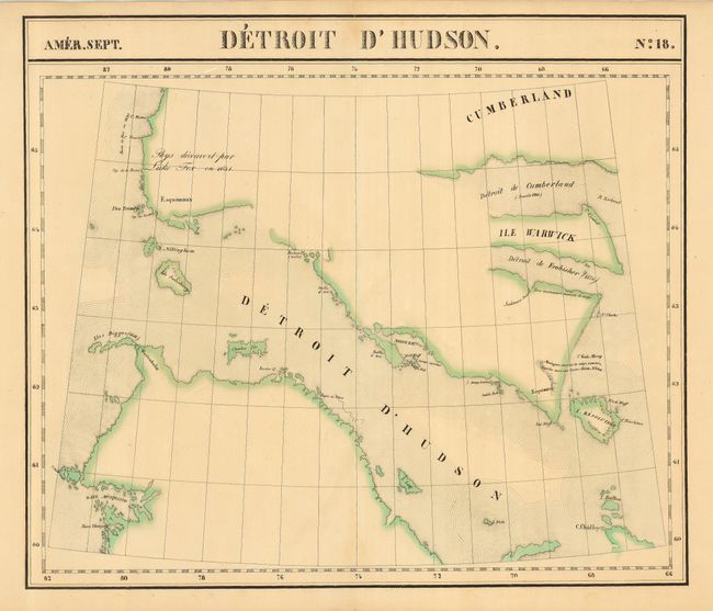
2) Amer. Sept. Detroit d' Hudson. No. 18. Focused on Hudson Strait.
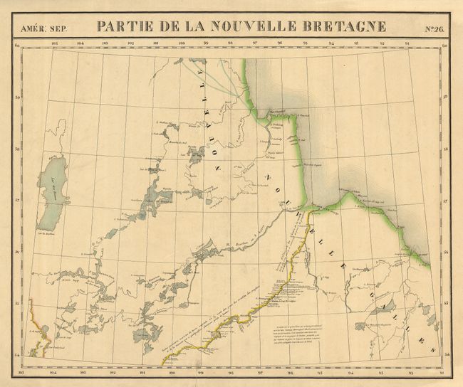
3) Amer. Sept. Partie de la Nouvelle Bretagne. No. 26. Southwestern part of Hudson Bay with that portion of Ontario nearby.
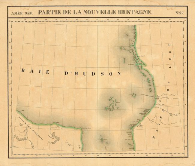
4) Amer. Sept. Partie de la Nouvelle Bretagne. No. 27. Southern portion of Hudson Bay and the top of James Bay.
5) Amer. Sept. Partie de la Nouvelle Bretagne. No. 34. Portion of Ontario just south and east of James Bay.
6) Amer. Sept. Partie de la Nouvelle Bretagne. No. 35. The eastern portion of Hudson Bay near Lake Mistassini Lake in Quebec.
References:
Condition: B
Original outline color and a few scattered spots of foxing throughout, some separations at centerfolds, not into maps,. Maps 4 and 6 with marginal damp stains.