Subject: Exploration and Surveys
Period: 1853 (dated)
Publication: Sen. Doc. No. 1, 33rd Cong., 1st Sess.
Color: Black & White
Size:
6 x 9.2 inches
15.2 x 23.4 cm
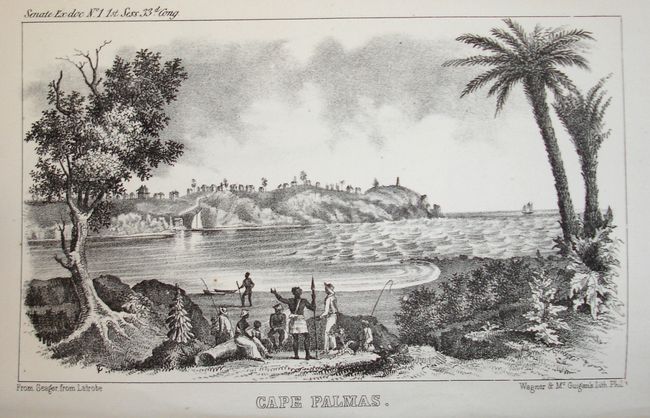
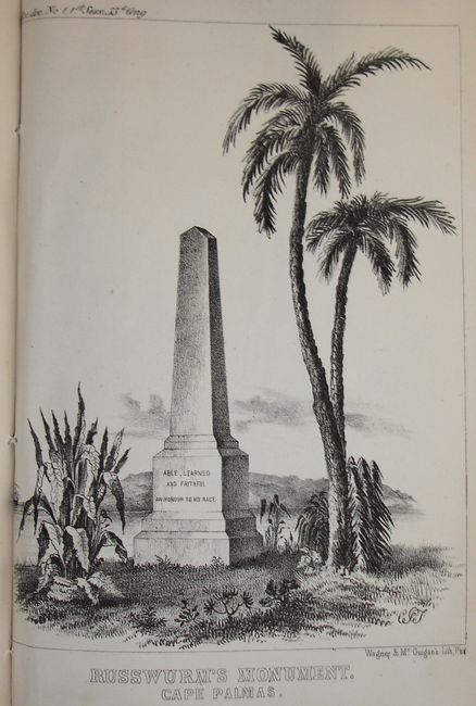
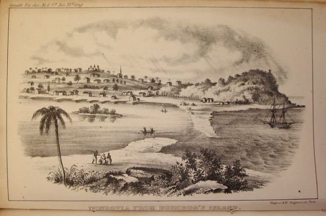
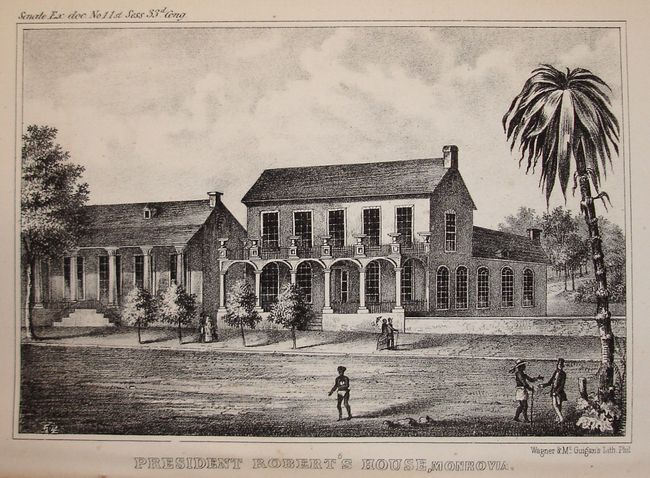
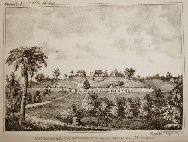
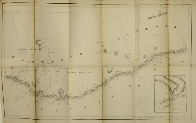
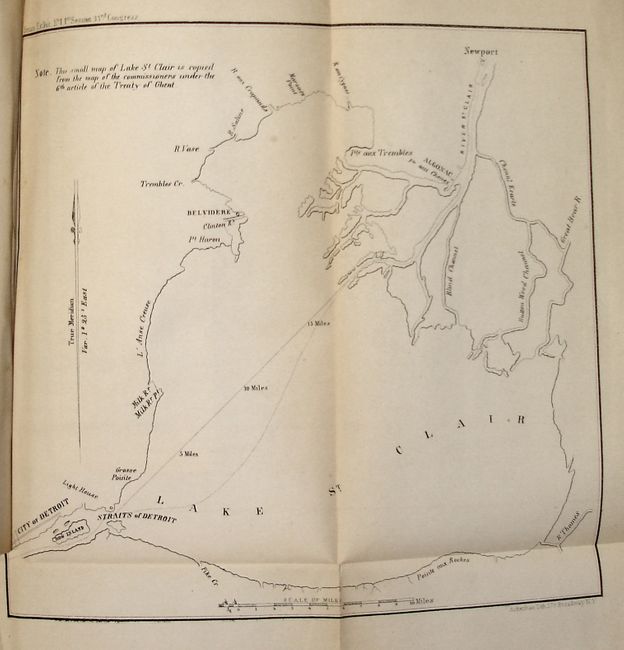
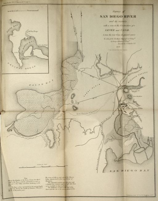
This book contains 37 maps, sketches, surveys and charts from the General Land Office and the Army Topographical Engineers. Some of the more interesting maps include Public Surveys in the State of Wisconsin and Territory of Minnesota;Arkansas;Sketch of the Ponchartrain Harbour and Breakwater;Chicago Harbor; and an untitled map of Lake St. Clair which features the city of Detroit. There are two large charts of the coast of Liberia, The Republic of Liberia, and Maryland In Liberia which contains an inset of Cape Palmas. Also included are five rare and attractive engravings: President Robert's House, Monrovia;Episcopal Mission, Near Cape Palmas (Mt. Vaughan); Cape Palmas; Russworm's Monument. Cape Palmas.; and Monrovia From Bushrod's Island. Hardbound in brown leather with tooling, raised spine and black and red leather labels with gilt titing on spine.
References:
Condition: A
Hardbound in leather; partial spine seperation and some shelf wear on corners. Maps show some toning and foxing at the edges and folds, and several with minor binding seperations.