Subject: Atlases
Period: 1854 (dated)
Publication:
Color: Hand Color
Size:
14 x 17.5 inches
35.6 x 44.5 cm
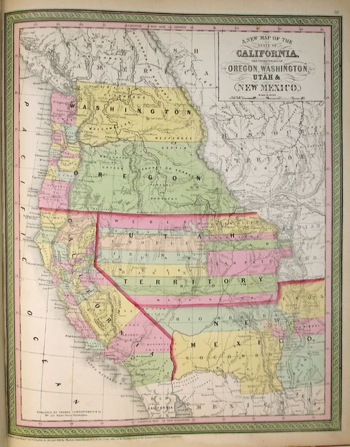
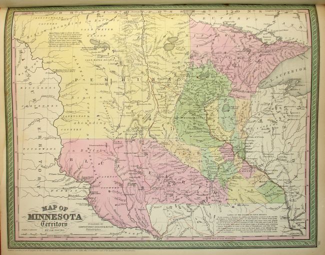
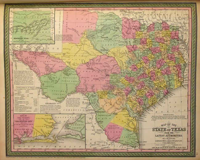
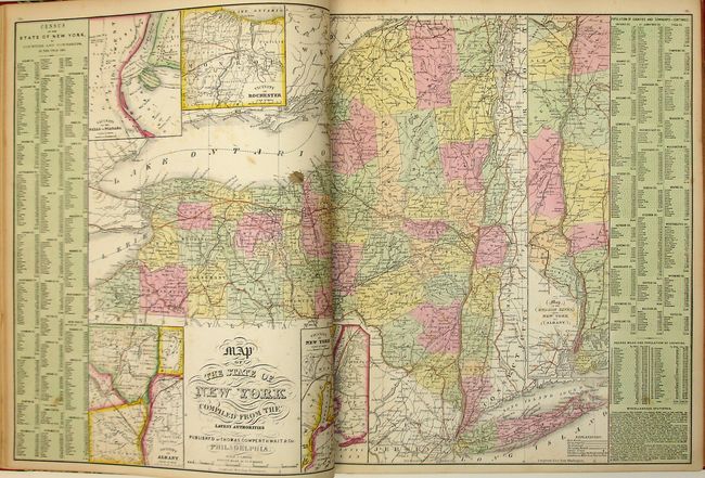
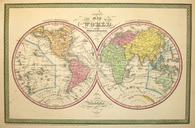
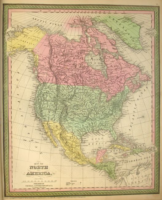
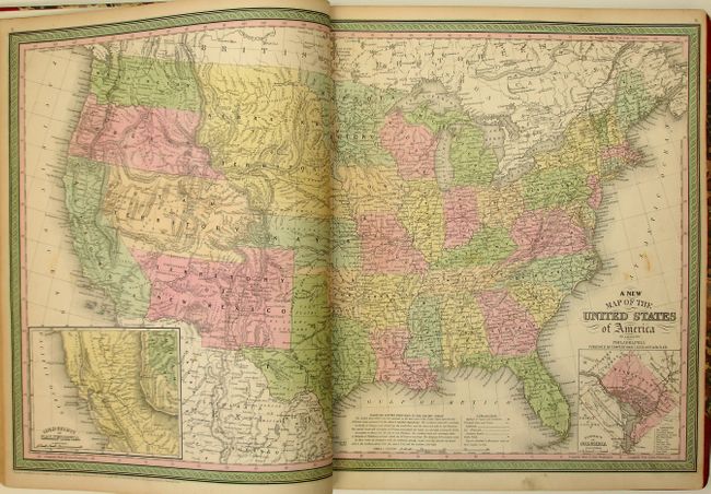
An unusually fine copy of this famous and highly sought after atlas, complete with seventy-four hand colored maps of the world, North America and the other continents, Oceanica, the United States and its territories, and city plans. This remarkable atlas concentrates mainly on the American continent, and features many important and desirable maps including Map of the State of Texas, a fine double page map, A New Map of the United States of America, and a double page Map of the State New York Compiled From the Latest Authorities. The spectacular map of the west has Oregon and Washington extending to the Continental Divide, the huge Utah territory extends from California to Indian Territory, and New Mexico occupies all of the Southwest with a pre-Gadsden Purchase border. The frontispiece is a hand colored, engraved diagram showing the lengths of rivers and heights of mountains.
Samuel Augustus Mitchell and his sons were the leading publishers of maps in the United States during most of the nineteenth century. Mitchell had come to Philadelphia around 1830 with the intention of improving the standard of geography textbooks. A New American Atlas, published in 1831, was his first work. Then, in 1845 he acquired the rights to Tanner's New Universal Atlas, and in 1846 he published his first edition of the present work. Mitchell continued to publish the atlas until 1850, when he sold the copyright to Cowperthwaite & Co. of Philadelphia, who continued to publish it until the mid-1850s, when it was purchased by Charles DeSilver.
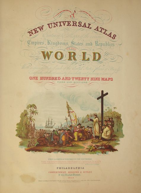
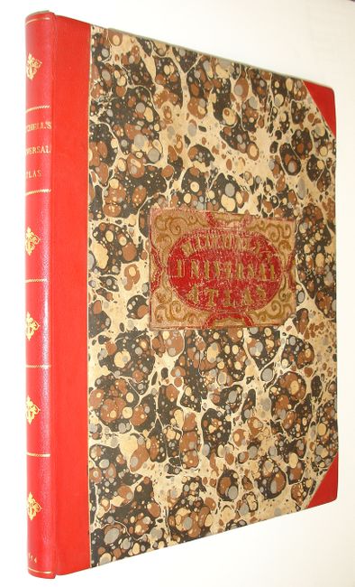
Hardbound, frontis, chromolithographed pictorial title page depicting Columbus' arrival in the New World, table of contents printed in red and gilt color, seventy-one single page and three double page hand colored maps. Completely rebound in red leather spine and tips with gilt titles and marbleized paper covers over boards with original embossed and gilt leather title label retained. New front and rear pastedowns and endpapers. Published by Cowperthwaite, DeSilver & Butler. This is a lovely example of an increasingly difficult to find atlas.
References: Ristow pp. 303-313; Phillips (A) #813 & 814.
Condition: A
Maps generally very good; a few with minor soiling, damp staining and a couple of repairs in lower margin and centerfold. Half inch spot on Map of New York, Michigan with a stitched repair in right margin. A small tear in the left margin of frontis just reaching into image. Map of Prussia has two archival tape repairs in lower blank margin. Covers are mint.