Subject: Atlases
Period: 1822 (circa)
Publication:
Color: Hand Color
Size:
6.5 x 9.5 inches
16.5 x 24.1 cm
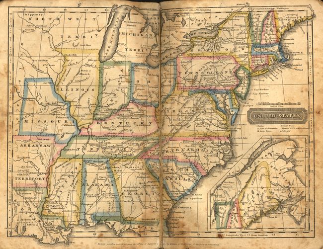
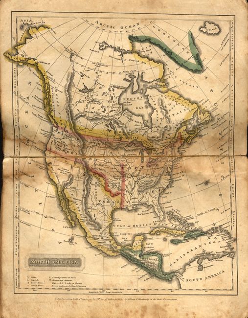
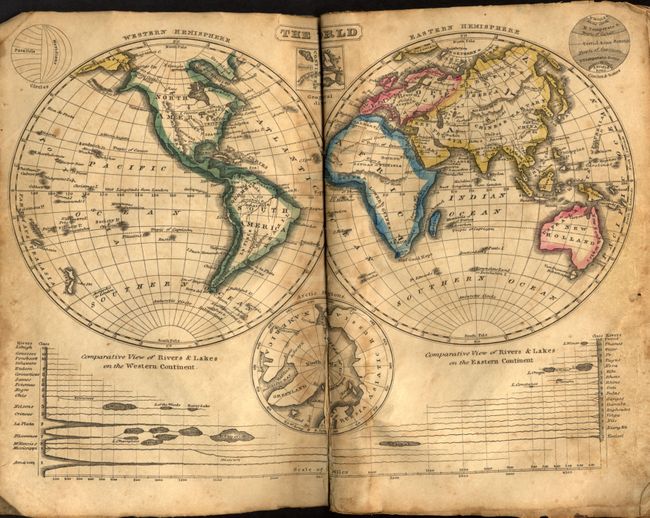
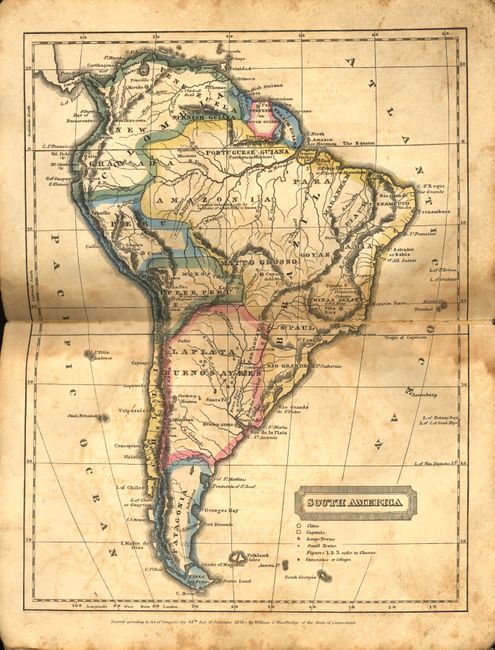
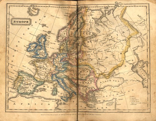
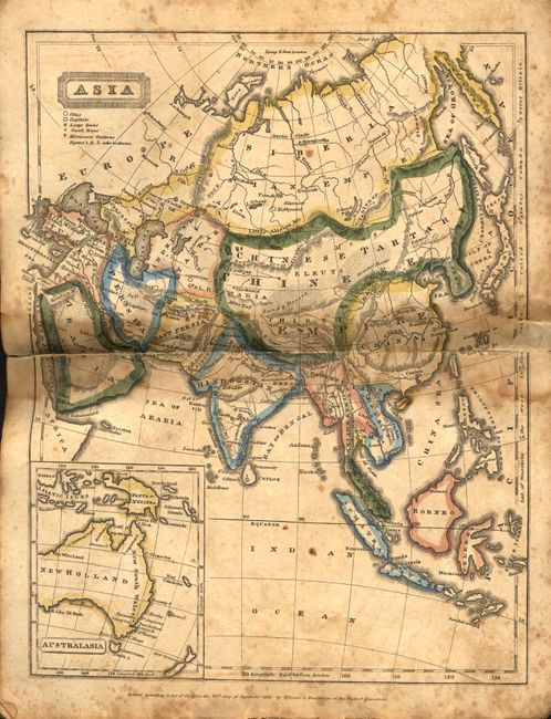
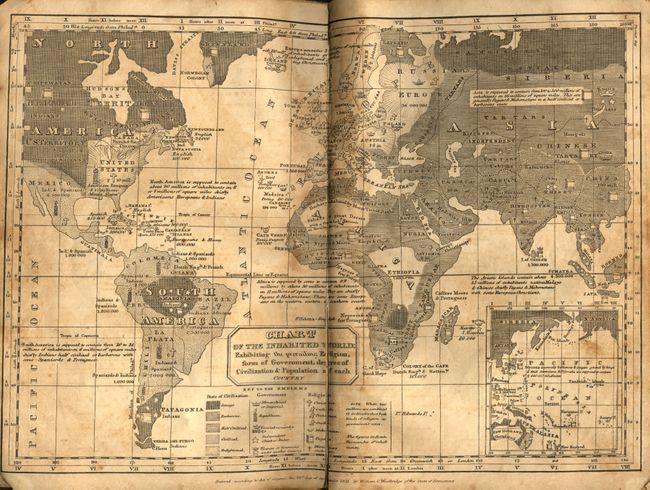
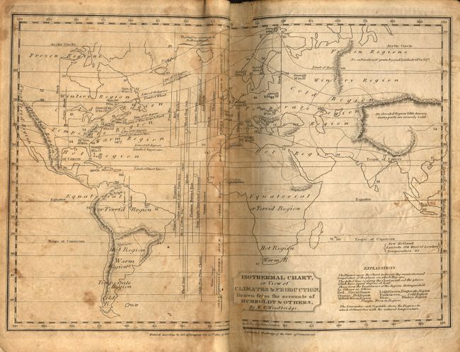
Complete, early school atlas containing the nine double-page hand colored maps called for on the title page. The atlas contains the following maps: double hemisphere world; thematic world map describing the prevailing relegions, form of govenmrnt, and degree of civilization; North America; United States; South America; Europe; Asia; Africa; and another thematic map showing the climate and production around the world. Both themaic world maps are drawn on Mercator's Projection. The map of North America shows a large United States Territory that stretches between the United States and the Pacific Ocean. Texas is named in Mexico, which occupies the entire Southwest and California. The maps are dated 1820 or 1821. Published by Oliver D. Cooke & Sons. The atlas obviously received heavy use and was rebound early in its life with coarse paper, cloth spine and threaded with string. Europe and Africa were placed upside down.
References:
Condition: C
Maps are foxed and toned, a couple with centerfold splits and some with short marginal tears. Cover rebound by amateur hand.