Catalog Archive
Auction 118, Lot 689

"Sarmatia et Scythia, Russia et Tartaria Europae", Cluver, Philipp

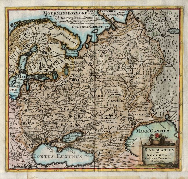
Subject: Europe - Eastern

Period: 1729 (published)

Publication: Philippi Cluveri introductionis in universam geographiam

Color: Hand Color

Size:
10 x 9.3 inches
25.4 x 23.6 cm
Download High Resolution Image
(or just click on image to launch the Zoom viewer)

Handsome and strongly engraved copper plate map of the region from Poland to the Ural Mountains and from Scandinavia to the Black and Caspian Seas. Fully engraved with mountains, forests, towns, with many ancient place names and adorned with a decorative title cartouche.

References:

Condition: B

Very strong, early impression with nice coloring on thick paper. Full margins all sides less bottom where the map is trimmed to just outside the lower neatline. Old paper poorly attached at bottom and some tape residue at margins, else very good.

Estimate: $140 - $180

Sold for: $100

Closed on 3/6/2007

Archived