Catalog Archive
Auction 118, Lot 667

"Populorum Germaniae Inter Rhenum et Albium Descriptio…", Cluver, Philipp
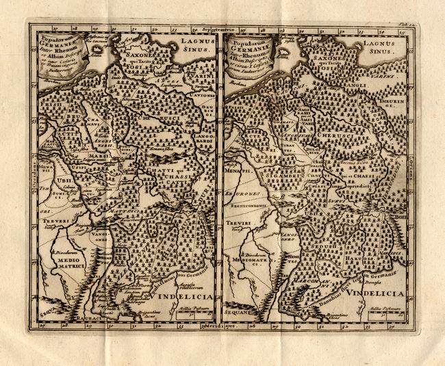
Subject: Germany

Period: 1660 (circa)

Publication: Introductionis in Universam Geographiam…

Color: Black & White

Size:
10 x 8 inches
25.4 x 20.3 cm
Download High Resolution Image
(or just click on image to launch the Zoom viewer)

Two maps, on one sheet, that cover the same area between the Rhine and the Elbe (nearly all of present day Germany). Both maps have the same title but represent different times of Roman domination and show subtle differences in the naming and placement of the peoples inhabiting the area. The maps extend from the Danish border in the north as far south as Switzerland and Austria. A very nice example of this map that presents an interesting comparison for the collector of German cartography.

References:

Condition: A+

Crisp impression with very wide margins. Insignificant marginal foxing but map image is fine. Issued folding, now flat.

Estimate: $100 - $120

Unsold

Closed on 3/6/2007

Archived