Catalog Archive
Auction 118, Lot 632

"Tabula Ducatus Britanniae Gallis le Gouvernemt. General De Bretagne…", Homann, Johann Baptist
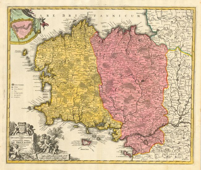
Subject: France

Period: 1716 (published)

Publication: Grosser Atlas

Color: Hand Color

Size:
22.5 x 18.8 inches
57.2 x 47.8 cm
Download High Resolution Image
(or just click on image to launch the Zoom viewer)

Large and very detailed chart roughly centered on the Bretagne region and extending south to include Belle Isle and Nante on the Loire River, and north to Granville. This example locates hundreds of cities and villages. A lovely, colored inset nicely presented as a curtain being drawn open, shows the walled city of Brest. A very handsome sheet with a decorative cartouche adorned with allegorical figures and putti.

References:

Condition: A

Very crisp impression with strong, original full color. Cartouche uncolored as issued. A couple of minor foxing spots in margins, and some light staining in map that is barely visible due to strong coloring, near fine.

Estimate: $250 - $300

Sold for: $180

Closed on 3/6/2007

Archived