Catalog Archive
Auction 118, Lot 441
"Kaart van de Landengte van Panama, Volgens de Spaansche aftekeninge opgemaakt", Tirion, Isaac
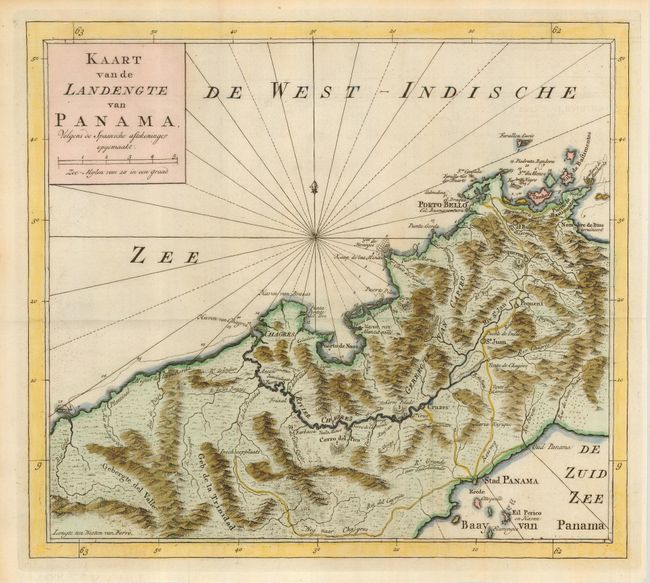
Subject: Panama
Period: 1769 (published)
Publication: Hedendaagsch historie of tegenwordige staat van Amerika
Color: Hand Color
Size:
11.6 x 10.5 inches
29.5 x 26.7 cm
Download High Resolution Image
(or just click on image to launch the Zoom viewer)
(or just click on image to launch the Zoom viewer)