Catalog Archive
Auction 118, Lot 374

"Gray's Atlas Map of North Carolina", Gray, O. W.

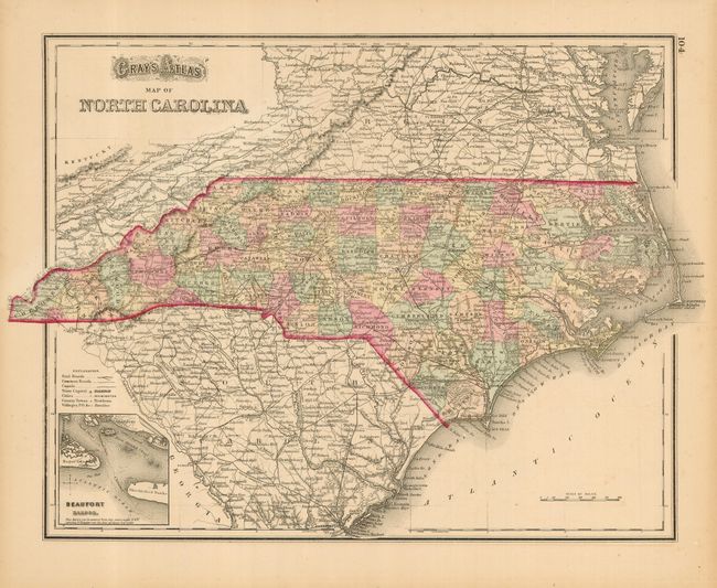
Subject: North Carolina

Period: 1873 (published)

Publication: Atlas of the United States

Color: Hand Color

Size:
16 x 11.8 inches
40.6 x 30 cm
Download High Resolution Image
(or just click on image to launch the Zoom viewer)

Finely engraved and detailed map of the state with a small inset of "Beaufort Harbor." The map is filled with information including towns and villages, political divisions, numerous railroads, and much detail on the watershed and topography and extends to include much of South Carolina and Virginia. On the verso is a fine map "Gray's Atlas Map of Virginia & West Virginia."

References:

Condition: A

Near fine example with original coloring, full margins and good impression.

Estimate: $80 - $100

Sold for: $60

Closed on 3/6/2007

Archived