Subject: New York
Period: 1827-52 (dated)
Publication:
Color: Black & White
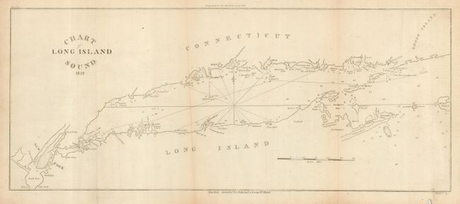
The first map is an early survey of Long Island Sound. It was published in the American Coast Pilot by Edward & George W. Blunt, 1827, 17" x 7". The map shows some soundings, coastal place names, notes on reefs, fishing grounds, and more. Extends to show New York in the west and Block Island to the east.
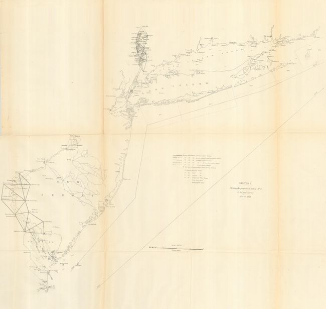
The second map is from the U.S. Coast & Geodetic Surveys, Washington D.C. This chart shows the region from Long Island Sound south to New Jersey, Great Egg Harbor, and False Cape. Triangulation lines between stations in Delaware Bay and in parts of the upper Hudson River, 1852, 24.5" x 22".
References:
Condition: B
Both folding, as issued, and on sound paper. The first has a tear into lower right margin with minor loss well away from the map image, and lightly toned on folds. The second has some very light toning to a few folds.