Catalog Archive
Auction 118, Lot 345

"Kentucky", Scott, Joseph
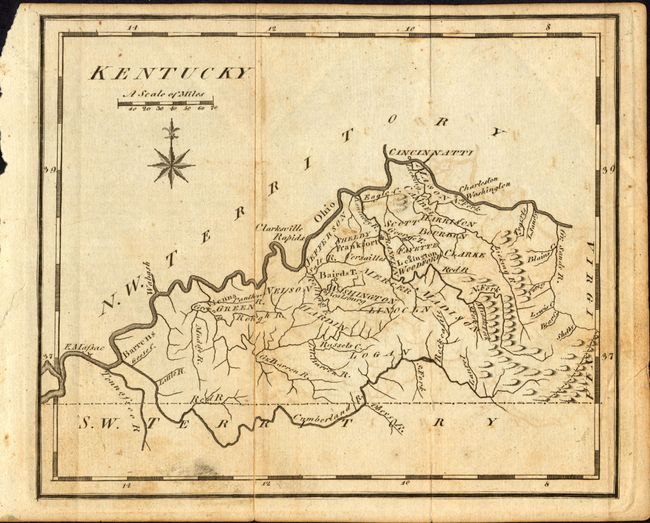
Subject: Kentucky

Period: 1795 (circa)

Publication: United States Gazetteer

Color: Black & White

Size:
7.5 x 6 inches
19.1 x 15.2 cm
Download High Resolution Image
(or just click on image to launch the Zoom viewer)

This is the first state of this early U.S. produced map. Details include county names and settlements, with limited topographical information. The northern portion of the border with Virginia follows the incorrect cartography of Elihu Barker's map. This first state has Tennessee below labeled "S.W. Territory."

References: Wheat & Brun 643.

Condition: B

With light foxing and offsetting.

Estimate: $180 - $140

Sold for: $130

Closed on 3/6/2007

Archived