Catalog Archive
Auction 118, Lot 266

"Virginiae partis australis, et Floridae partis orientalis, interjacentiumq regionum Nova Descriptio", Montanus/Ogilby

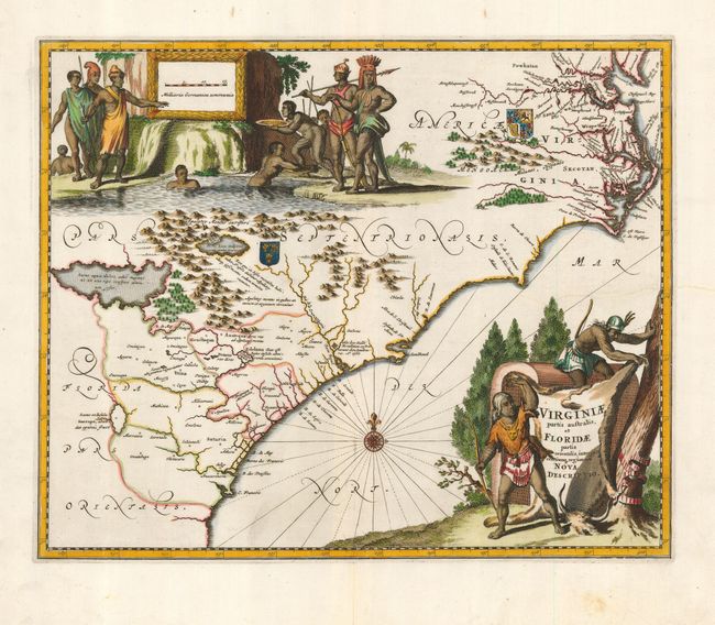
Subject: Colonial Southeast

Period: 1671 (published)

Publication:

Color: Hand Color

Size:
14 x 11.3 inches
35.6 x 28.7 cm
Download High Resolution Image
(or just click on image to launch the Zoom viewer)

This striking map of the Southeast shows the French and English claims in the region marked with their respective coats of arms. The cartography in the southern part of the map retains Le Moyne's three imaginary lakes, the largest draining through the Carolinas via the May River. While the map is nearly identical to the Blaeu/Jansson model on which it is based, the decorations are entirely original. The title cartouche is engraved onto an buffalo hide displayed by two Native Americans and at top is a large view that apparently illustrates a group of natives panning for gold.

References: Burden (II) #413; Cumming [SE] #67.

Condition: B

Professional repair on a 4" tear just above title cartouche.

Estimate: $1,200 - $1,400

Unsold

Closed on 3/6/2007

Archived