Subject: United States
Period: 1883 (dated)
Publication:
Color: Printed Color
Size:
24.4 x 15.5 inches
62 x 39.4 cm
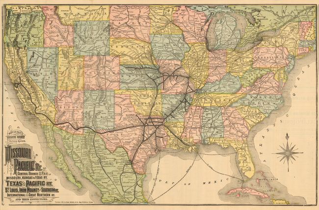
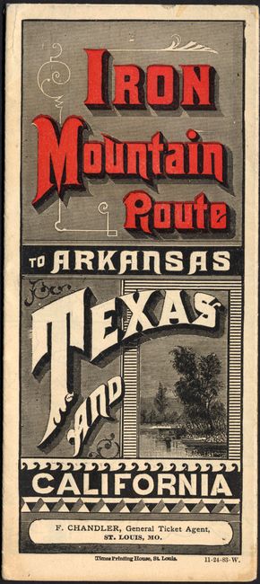
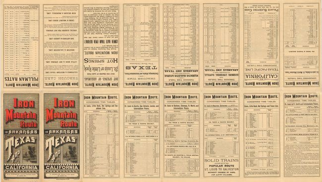
This folding pocket railroad timetable is a great ephemera piece with a large map on one side and extensive timetable and marketing text on the other. The map "Map of the Southwest Railway System, Missouri Pacific Ry. Central Branch U.P. R.R. Missouri, Kansas & Texas Ry. Texas and Pacific Ry. St. Louis, Iron Mountn. and Southern Ry. International and Great Northern Ry. and their Connections" shows the United States coast to coast and up to about the 42nd parallel. The map shows all railroads in small line, while the Iron Mountain routes are printed in heavy, bold black lines with all stops and stations named. The Iron Mountain rail hub is in Texas, and extends to California as far as San Francisco and Sacramento, and to northeastern points as far as Omaha and St. Louis, with a spur running to Lenora, Kansas. Self folding into pictorial color covers in red and black. Printed by the Times Printing House, St. Louis, map copyright Rand McNally & Co., Chicago. A great document of Texas and the continuing westward rush during the 19th century.
References:
Condition: A
Folding, as issued. Good impression and color with full margins. One small hole at fold and a short tear closed with archival tissue, else fine.