Catalog Archive
Auction 118, Lot 177

"British America, Comprehending Canada, Labrador, New-Foundland, Nova Scotia &c.", Longman Co.

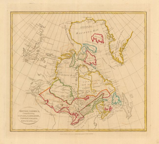
Subject: Eastern Canada

Period: 1808 (dated)

Publication: Atlas to Cruttwell's Gazetteer

Color: Hand Color

Size:
15.1 x 13.2 inches
38.4 x 33.5 cm
Download High Resolution Image
(or just click on image to launch the Zoom viewer)

Finely engraved sheet centered on Hudson Bay. The map extends south to include Lake Ontario and Erie, and north to the coast in the Beaufort Sea above Buffalo Lake. There is a tentative outlet to the Arctic Sea emanating from Hudson Bay. The map is filled with fascinating notations (an area west of Lake Winnipeg is noted "The Climate of this Land is a great deal more temperate than Hudson's Bay"), and several notes concern recent discoveries. Names New North Wales, New South Wales, New Foundland. Good detail with Indian tribes, villages, forts and ports located.

References:

Condition: B

Original outline coloring. Some light offsetting in map and a couple of spots of foxing in blank margins.

Estimate: $150 - $200

Sold for: $110

Closed on 3/6/2007

Archived