Catalog Archive
Auction 118, Lot 117

"L'Amerique Suivant les Dernieres Observations de l'Academie Royale des Sciences", Macquart

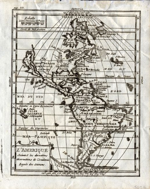
Subject: Western Hemisphere

Period: 1760 (circa)

Publication: Geographie universelle…

Color: Black & White

Size:
5.4 x 6.8 inches
13.7 x 17.3 cm
Download High Resolution Image
(or just click on image to launch the Zoom viewer)

This boldly engraved copper plate map of the Americas features California as an island. The map shows the major political divisions with very few place names or other information. Terre Australe still appears below Tierra del Fuego. Simple title cartouche lower left and distance scale at upper left. Apparently a derivative of Denise Macquart's map, although it does not match exactly with McLaughlin's description. This example has page 333 in the upper left.

References: McLaughlin #73.

Condition: A

Near fine example with a strong, early impression. Printed on fine hand laid paper with original margins. In upper margin, well away from map image, are glue remnants from binding.

Estimate: $200 - $240

Sold for: $120

Closed on 3/6/2007

Archived