Subject: World & Continents
Period: 1705 (dated)
Publication:
Color: Hand Color
Size:
13.4 x 9 inches
34 x 22.9 cm
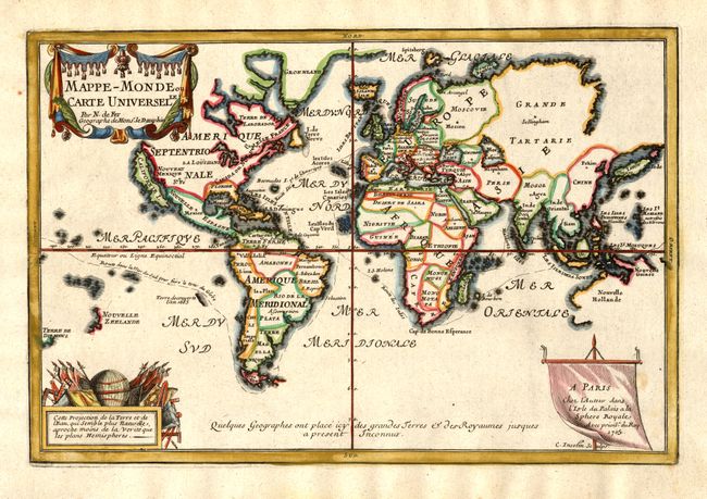
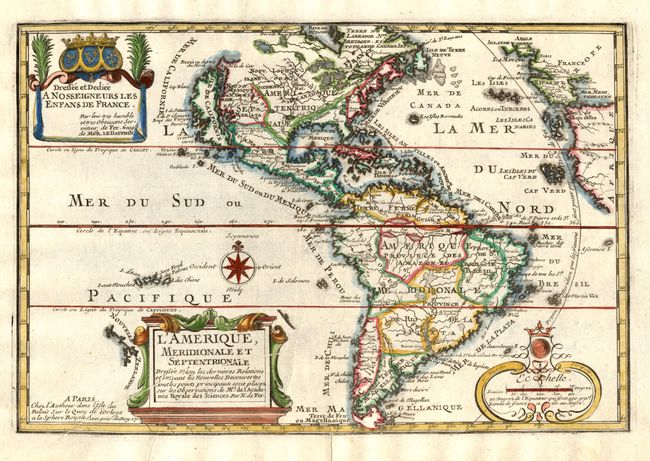
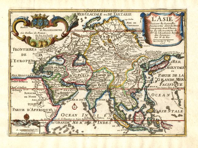
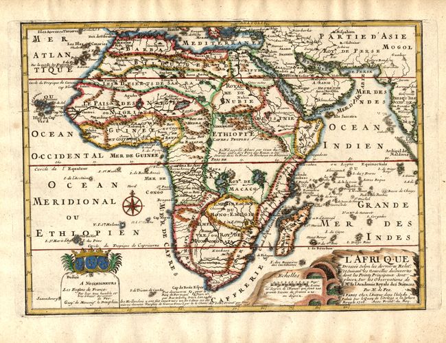
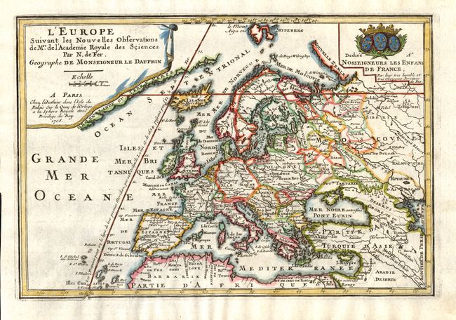
This appealing matched set of maps reflects several geographical myths that were prevalent at the beginning of the eighteenth century. Each is richly embellished with title, scale and dedication cartouches.
1) Mappe-Monde ou Carte Universelle is presented on Mercator's projection with a prominent island of California. Only part of the coastline of Australia appears, as well as parts of Tasmania and New Zealand. Major sea routes are shown traversing the world.
2) L'Amerique, Meridionale et Septentrionale also features an insular California with an indented northern coast and the Agubela de Cato peninsula just to the north of the island.
3) L'Asie depicts a continuous land bridge extending from northern Korea and eastern Siberia across nearly to the American Northwest.
4) L'Afrique shows the correct source of the Nile but retains the two large twin lakes south of the Equator.
5) LL'Europeextends north to include Spitzbergen and shows the prime meridian through the Isle de Fer.
References: America - McLaughlin #135; Africa - Norwich #64.
Condition: A
Fine impressions and color. Couple of marginal spots, else fine.