Catalog Archive
Auction 117, Lot 904

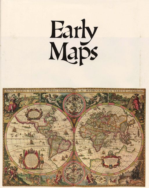
"Early Maps", Campbell, Tony

Subject: Reference Books

Period: 1981 (published)

Publication:

Color: Printed Color

Size:
12 x 15 inches
30.5 x 38.1 cm
Download High Resolution Image
(or just click on image to launch the Zoom viewer)

This publication contains an array of early maps, municipal plans, and sea charts from the 13th century to the 1850's. Each plate is accompanied by information on the cartographer and an explanation of the political developments and geographical discoveries that influenced the map's design. Hardbound in green cloth with gilt letters on spine and illustrated original dust-wrapper. 148 pp., 68 color plates, several foldouts.

References:

Condition: A

Text and images all fine. Some minor rubbing on jacket.

Estimate: $75 - $120

Sold for: $70

Closed on 12/6/2006

Archived