Subject: North America
Period: 1818 (dated)
Publication:
Color: Hand Color
Size:
11.5 x 16.5 inches
29.2 x 41.9 cm
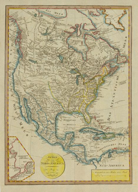
This scarce and very interesting map illustrates North America during a period of speculative cartography in the western part of the continent. The map presents a great amount of information in Canada derived from the expeditions of Mackenzie and Hearne. The coast of Alaska is continued in an inset at lower left and provides quite good detail. In the western part of the United States there is considerable confusion -- the headwaters of several major rivers are practically in California and the Rocky Mountains are completely missing. In the Pacific Northwest there is a large Assinibolen See. There is no engraver or publisher's imprint, but the map has been attributed to Reichard in the Lloyd Reeds Map Collection, in the McMaster University Library.
References:
Condition: A+
Issued folding, now pressed.