Subject: Atlases
Period: 1880 (dated)
Publication:
Color: Printed Color
Size:
10.5 x 15 inches
26.7 x 38.1 cm
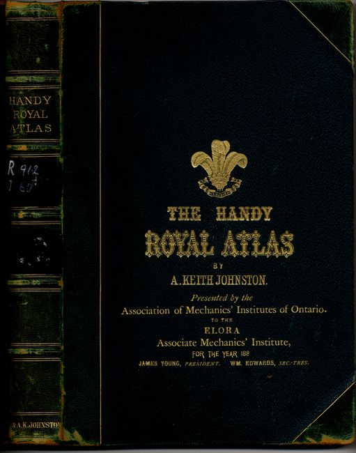
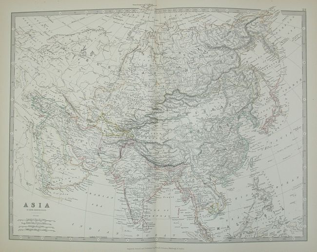
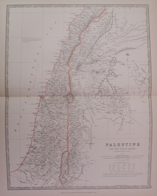
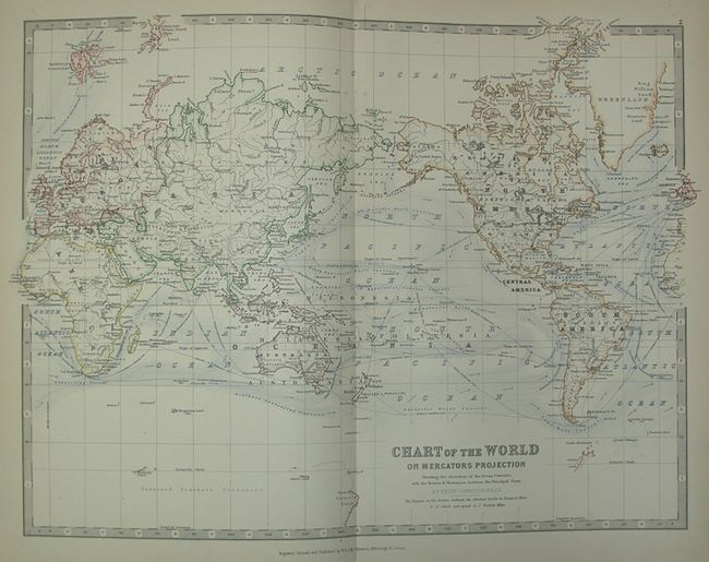
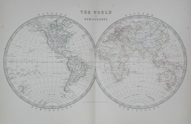
A very nice complete example of this atlas containing 46 double-page maps of the regions of the world. Of particular interest are The World in Hemispheres, the North Polar Chart that serves as the frontispiece, and the New Zealand that includes an interesting vignette of the "Southern Alps of New Zealand From the Central Moraine of the Godley Glacier. " The maps are printed on one-side only and bound on tabs in the atlas. Also included is a 102 page index with listings for all the places mentioned in the atlas. The maps measure approximately 13" x 16" plus margins. Folio, hardbound in original green morocco with full gilt titles and edges, with library marking on the spine and on the inside covers. Deaccessioned from the Elora Library, Ontario Canada, with a letter from the library confirming the deaccession.
References:
Condition: A
Text and maps generally in good to very good condition. Some minor foxing, otherwise sound. The covers have some rubbing and bumping, else in very good condition.