Subject: Atlases
Period: 1775-1781 (circa)
Publication:
Color: Black & White
Size:
16.5 x 22 inches
41.9 x 55.9 cm
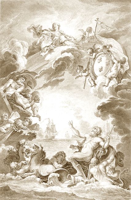
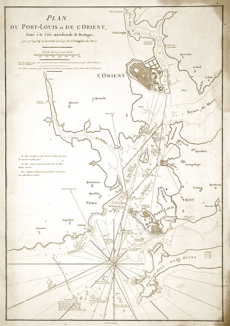
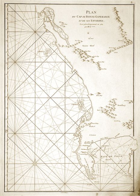
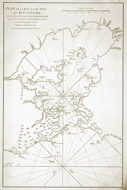
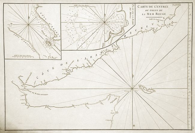
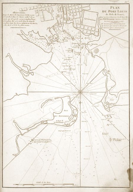
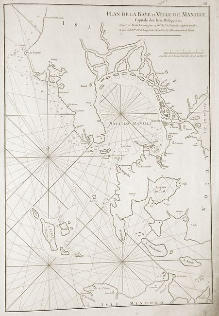
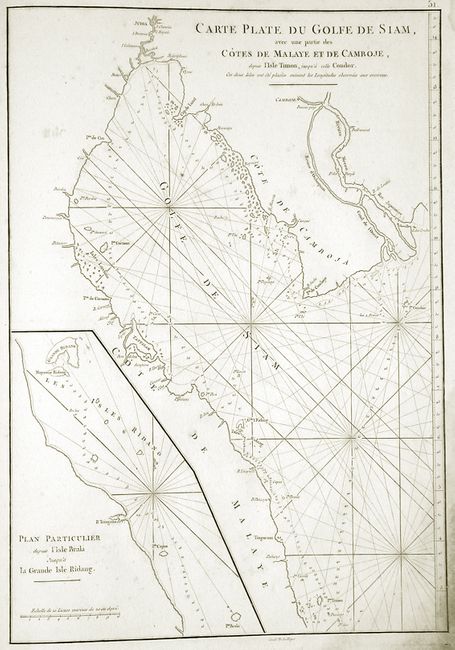
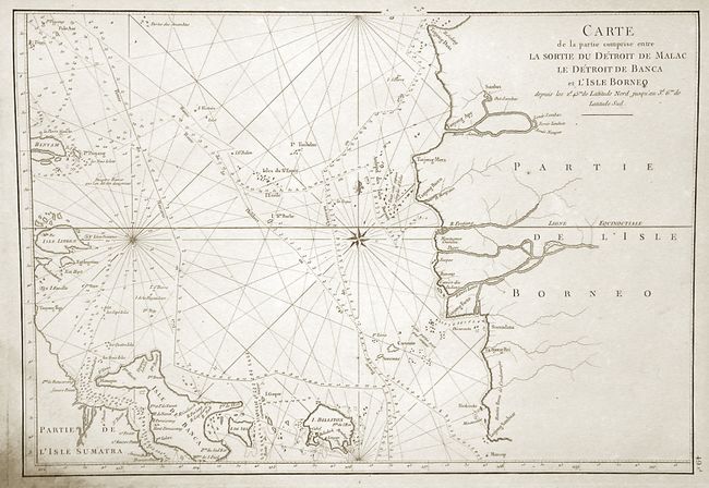
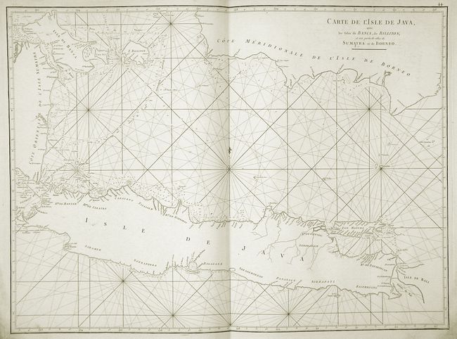
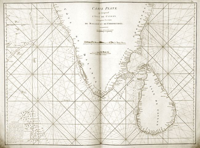
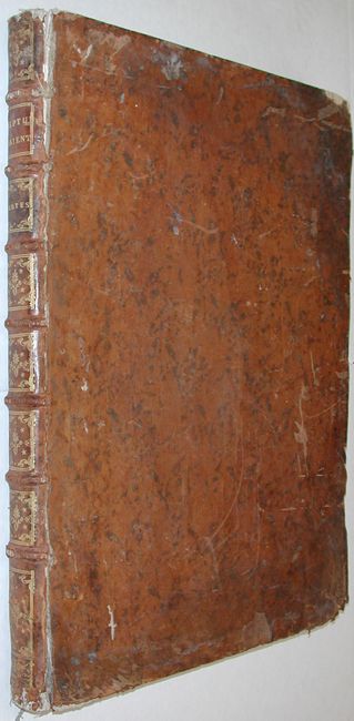
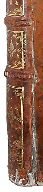
This is an important French coastal pilot containing 37 single-page, and 32 double-page coastal charts and profiles, several after Alexander Dalrymple. The maps contained in this atlas are beautiful copperplate engravings created by Guillaume de la Haye. Throughout his 1728 voyage to China, D'Apres de Mannevillette used advanced instrumentation to correct the latitudes of numerous locations along his route. By doing this, he was able to publish correct charts of the route to China, the Red Sea, the Indian Coast, Malaysia, northern Indonesia, and Indochina. The atlas includes parts of coastal Europe, Africa (particularly Madagascar), the Indian Ocean, Persian Gulf, India and Ceylon, the Malaya Peninsula, Indonesia, Thailand, the China Sea, Borneo and the Philippines. Of particular interest are two very detailed plans of Rio de Janeiro and Manila. Another very dramatic feature is a splendid engraved frontispiece by Tilliard after Boucher. This is a much sought after atlas, and is certainly worthy of having the spine repaired. Folio, bound in contemporary mottled calf with gilt paneled spine.
References:
Condition: B
Heavy damp staining in the margins, affecting the corners of the charts. Some with light offsetting and a couple with rust spots. Plate #'s 57, 58, 59 with worming in upper margins within the plate mark, but not affecting the charts. Covers show extensive wear with separations at the spine and damage at the corners.