Subject: Australia
Period: 1890 (circa)
Publication:
Color: Printed Color
Size:
34.4 x 28 inches
87.4 x 71.1 cm
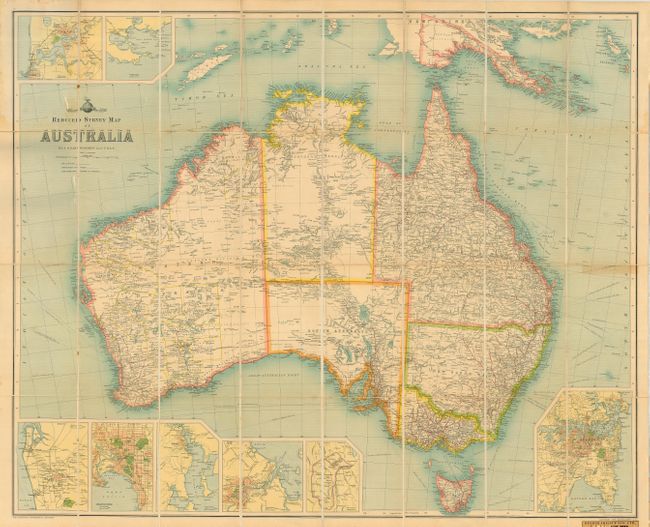
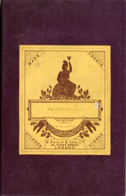
This large folding map was produced by the Edinburgh Geographical Institute and is from Bartholomew's World Survey Map Series. The map contains remarkable detail of the continent and Tasmania. Further information is provided in eight inset maps: Sydney; Canberra and the Commonwealth Territory; Brisbane, Hobart; Melbourne; Adelaide including Port Adelaide; Perth and Freemantle; and King George Sound with Albany. The map is segmented into 32 sections and mounted on linen. It folds into purple cloth boards with lovely marbled paper inside front cover and on back of one linen section. With the original engraved paper cover label of "G. Philip & Son, London."
References:
Condition: A
Map in very good condition with slightly faded covers.