Subject: India
Period: 1857-70
Publication:
Color: Hand Color
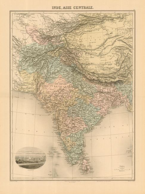
1) Inde. Asie Centrale. A map of India and Ceylon by Charles Lacoste, circa 1870. Illustrates the whole of India as well as Tibet and the western part of China. A view of Calcutta is inset at lower left. The map measures 12.3 x 16.5".
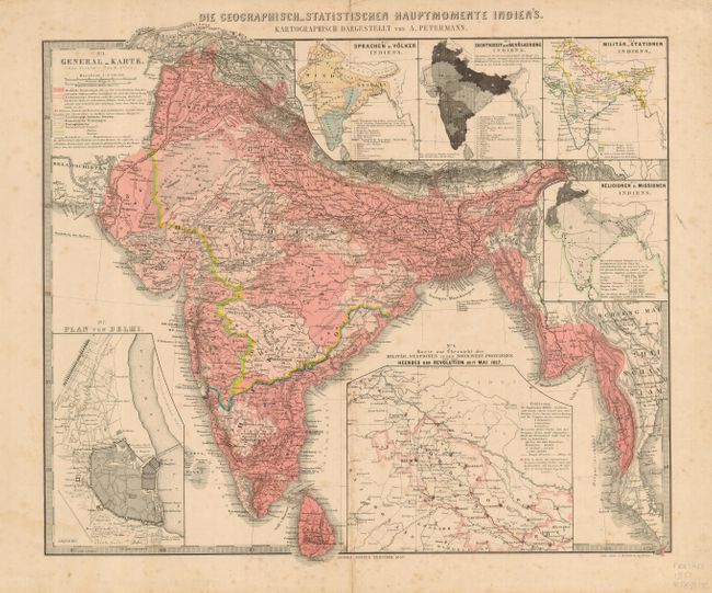
2) Die Geographisch-Statistischen Hauptomente Indien's. An interesting and detailed map of India and Ceylon by Justus Perthes, published in Gotha for Stieler's Hand-Atlas in 1857. The map extends to cover most of Burma (Myanmar), and illustrates the British Empire in South Asia. The map is inset with a plan of Delhi, as well as thematic maps for the primary languages spoken, military stations, population, religious missionaries and a plan showing the military strength during the Sepoy War of 1857. Map measures 15.9 x 13.1".
References:
Condition:
1) A - Very good with the usual slight toning.<br>
2) B - Map is generally good with minor fold separations reinforced with brown paper tape on verso and scattered foxing.