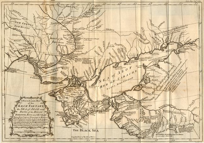
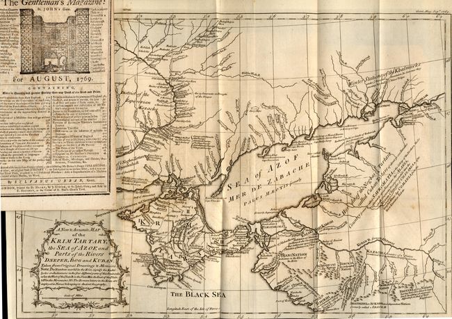
Subject: Ukraine
Period: 1769 (published)
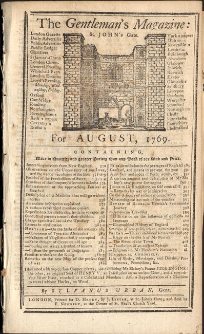
Publication: Gentleman's Magazine
Color: Black & White
Size:
16.5 x 11.5 inches
41.9 x 29.2 cm
This map shows the Ukraine and the Crimean peninsula as well as a small portion of Russia during the period of hostilities between the Turks and Russians during 1768-74. The main reason for the publication of this map appears to be a strong disagreement with the accuracy of Andrew Dury's Map of the Seat of War between the Russian, Poles and Turks that was published in the same period. It apparently inflamed this mapmaker enough to write a scathing editorial to Gentleman's Magazine in complaint accompanied by this "sketch" of his soon-to-be superior map. Folding map with editorial still bound in complete August 1769 edition.
References: Jolly GENT-197.
Condition: B
Minor binding tear on left not into image. Minor damp stains and offsetting and some chipping in right margin.