Catalog Archive
Auction 117, Lot 611

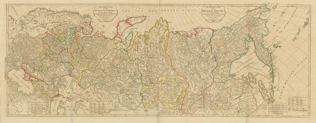
"The European Part of the Russian Empire... [joined with] The Asiatic Part of the Russian Empire…", Laurie & Whittle

Subject: Russia

Period: 1794 (dated)

Publication:

Color: Hand Color

Size:
49 x 19 inches
124.5 x 48.3 cm
Download High Resolution Image
(or just click on image to launch the Zoom viewer)

A tremendously detailed map that covers the whole of Russia and shows the full extent of the empire including its new provinces on the Black Sea. The map was compiled from the maps of the Imperial Academy at St. Petersburg with additional information from Capt. Cook's exploration of Kamchatka. With two title cartouches, as this is two maps joined, as issued. Five distance scales and extensive legend explains Russian terms used in the map.

References: Phillips (A) #6009.

Condition: A

Early, dark impression on thick and very early machine-made paper with wide margins and fine color. A little offsetting visible in blank areas, but still very good for this large map.

Estimate: $275 - $325

Sold for: $300

Closed on 12/6/2006

Archived