Catalog Archive
Auction 117, Lot 594

"A Map of Hungary and Countries adjacent", Senex, John

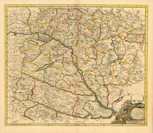
Subject: Southeastern Europe, Hungary

Period: 1710 (circa)

Publication:

Color: Hand Color

Size:
22 x 18.8 inches
55.9 x 47.8 cm
Download High Resolution Image
(or just click on image to launch the Zoom viewer)

This fine map of the Hungarian Empire is centered on the Danube River and covers from Vienna to Belgrade and from the present-day Polish border to just below Zegreb. The title cartouche has strange part-human, part-beast creatures being subdued by a cherub with a flaming sword. Engraved by J. Harris.

References:

Condition: B

Sharp impression and old color. Light toning along centerfold, else very good.

Estimate: $350 - $400

Unsold

Closed on 12/6/2006

Archived