Catalog Archive
Auction 117, Lot 473

"Daniae, Frisiae, Groningae et Orientalis Frisiae Littora", Wit, Frederick de

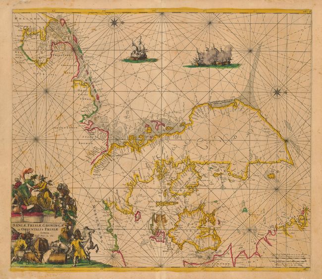
Subject: Europe - Northern

Period: 1675 (circa)

Publication: Orbis Maritimus ofte Zee Atlas

Color: Hand Color

Size:
22.3 x 19.3 inches
56.6 x 49 cm
Download High Resolution Image
(or just click on image to launch the Zoom viewer)

Interesting, rhumb-line filled sea chart that is centered on Denmark with north oriented to the right. The map focuses only on the coastlines with information including soundings, shoals, banks and anchorages. The sheet features a fabulous cartouche draped with mythical creatures, peasants and livestock. There are also two compass roses and warships battling in the North Sea.

References:

Condition: C

Sharp impression with original color. There is a spot of offsetting and loss in the lower centerfold due to verdigris oxidation that is reinforced with a little archival tape on verso. Light, scattered foxing throughout.

Estimate: $500 - $600

Sold for: $450

Closed on 12/6/2006

Archived