Catalog Archive
Auction 117, Lot 431

"Fol. P. Delineatio Geometrica Nova Planisphaerii Orientalis", Scherer, Heinrich

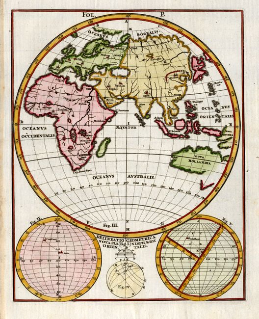
Subject: Eastern Hemisphere

Period: 1710 (circa)

Publication: Atlas Novus

Color: Hand Color

Size:
7.3 x 9.3 inches
18.5 x 23.6 cm
Download High Resolution Image
(or just click on image to launch the Zoom viewer)

Interesting chart of the Eastern Hemisphere with three diagrams below. The map focuses on the continental outlines with little interior detail, save the major rivers, lakes and cities, and in China the Great Wall is depicted. In Africa all the major rivers rise from two large lakes below the equator. This chart was included in Scherer's geographical compendium that emphasized the Catholic hierarchy and spread of Jesuit missions throughout the world.

References:

Condition: A+

Estimate: $130 - $180

Sold for: $100

Closed on 12/6/2006

Archived